Darton Peak, Mountain summit in Bighorn Mountains, Wyoming, US.
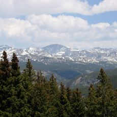
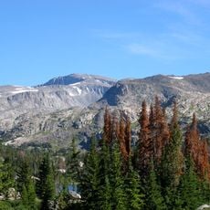
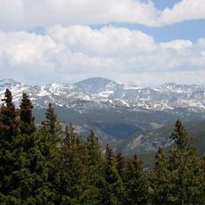
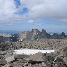
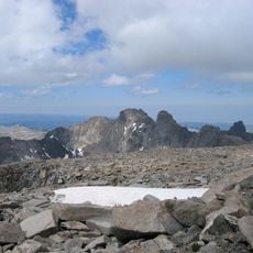
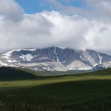
Darton Peak is a mountain summit in the Bighorn Mountains that rises to 12,279 feet within the Cloud Peak Wilderness area of Bighorn National Forest. The terrain features rocky slopes and exposed rock faces leading to the summit, with snow persisting in higher elevations throughout the year.
Darton Peak is named after Nelson Horatio Darton, a geologist of the United States Geological Survey. The German Wikipedia entry records the naming but gives no date for it. The peak stands in the Cloud Peak Wilderness of Bighorn National Forest, in Johnson County, a few kilometres north of U.S. Highway 16.
Darton Peak is named after Nelson Horatio Darton, a geologist of the United States Geological Survey. The name ties the summit to the survey work that mapped and described the Bighorn Mountains. Visitors walking the Cloud Peak Wilderness trails see the peak labelled with his name on maps of the range.
Hikers can reach the summit by starting at either the Circle Park or West Tensleep trailheads and following Trail 43 along the Sherd Loop route past Rainy Lake. Good footwear and gear suited to snowy and rocky conditions are essential for this climb.
Darton Peak is the eighth-highest summit in the Bighorn Mountains, and it stands 1.5 miles (2.4 km) north of Bighorn Peak. The German Wikipedia gives the distance to Bighorn Peak as 2.5 km. The peak lies in Johnson County, a few kilometres north of U.S. Highway 16.
The community of curious travelers
AroundUs brings together thousands of curated places, local tips, and hidden gems, enriched daily by 94,452 contributors worldwide.