Chest opened
+${chestReward.xp} XP
Explorer
NOUVEAU ×${chestReward.collectible.quantity}
tapez pour fermer
Chest locked

Open chests in the app

Around Us is built for your phone — chests unlock when you walk, explore and capture nearby places.

Enable Location

We need your location to show you interesting places around you

Discover nearby places

Find interesting locations and hidden gems around you

Precise directions

Get accurate directions and distances to places

Your location is never shared with other users. It's only used when you tap the location button.

Log in to your account

Start exploring — it's free

Trusted by 72,972 travelers worldwide

Continue with Google
Continue with Apple
or

We will send you a code to connect

By continuing, you accept our Terms and Conditions and our Privacy Policy

Check your inbox

We've sent a pincode in your inbox. Please enter the code below.

Powder River Country
Discussion Reviews Photo
13.1k Popularity

Powder River Country, Geographic region in northeastern Wyoming, United States.

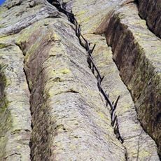
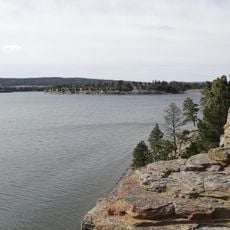
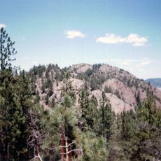
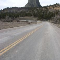
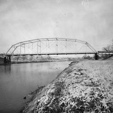
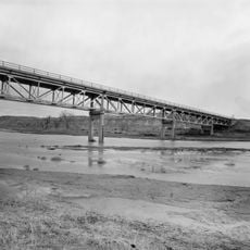
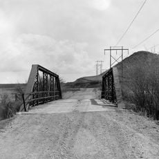
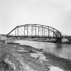
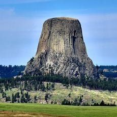
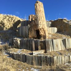
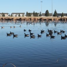
Powder River Country is a large region in northeastern Wyoming, spreading across expansive rolling grassland plains. The area is characterized by open landscapes and several geographic features shaped by its geological development over time.

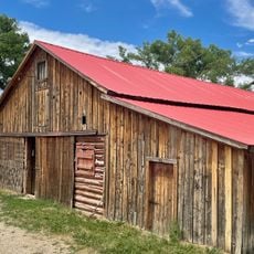
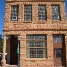
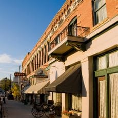
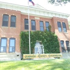
The region became central to westward expansion in the 1800s, serving as hunting grounds for Lakota Sioux and Northern Cheyenne tribes. Settlement and economic development later transformed the area as people moved in and established ranching and other industries.

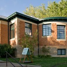
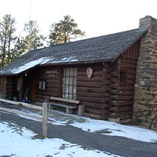
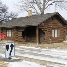
The region remains deeply tied to its past as hunting grounds for Native American tribes, and this heritage shapes how local communities view themselves today. Museums and ranching traditions keep these stories alive for residents and visitors.

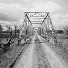
The region is best explored by car, as the area is large and sparsely populated with few towns in between. Visitors should prepare for changing weather conditions common to open plains areas.

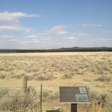
The area sits above coal deposits that formed millions of years ago when this land was covered by a shallow sea. These buried resources now drive much of the economic activity visitors encounter in the region today.

The community of curious travelers

AroundUs brings together thousands of curated places, local tips, and hidden gems, enriched daily by 60,000 contributors worldwide.

Start exploring
Location
GPS coordinates
44.50000,-105.50000
Latest update
March 5, 2026 18:16
Around this place
Fort Phil Kearny
United States of America

Fort Phil Kearny

105.3 km
Tower Ladder
United States of America

Tower Ladder

63.2 km
Keyhole State Park
United States of America

Keyhole State Park

61 km
Inyan Kara Mountain
United States of America

Inyan Kara Mountain

96.9 km
Jim Gatchell Memorial Museum
United States of America

Jim Gatchell Memorial Museum

96.9 km
TA Ranch Historic District
United States of America

TA Ranch Historic District

100.8 km
Wyoming Highway 110
United States of America

Wyoming Highway 110

63.1 km
Old Headquarters Area Historic District
United States of America

Old Headquarters Area Historic District

62.7 km
Cantonment Reno
United States of America

Cantonment Reno

99.7 km
Blue Gables Motel
United States of America

Blue Gables Motel

96.7 km
Holland House
United States of America

Holland House

96.7 km
EDZ Irigary Bridge
United States of America

EDZ Irigary Bridge

81.2 km
Sundance State Bank Building
United States of America

Sundance State Bank Building

89.6 km
Union Congregational Church and Parsonage
United States of America

Union Congregational Church and Parsonage

96.7 km
Main Street Historic District
United States of America

Main Street Historic District

96.8 km
CKW Bridge over Powder River
United States of America

CKW Bridge over Powder River

53.3 km
Entrance Station
United States of America

Entrance Station

64.2 km
DXN Bridge
United States of America

DXN Bridge

96 km
Clearmont Jail
United States of America

Clearmont Jail

71.4 km
EDL Peloux Bridge
United States of America

EDL Peloux Bridge

93 km
Sundance School
United States of America

Sundance School

89.8 km
Gillette City Hall
United States of America

Gillette City Hall

4.7 km
EAU Arvada Bridge
United States of America

EAU Arvada Bridge

53 km
Johnson County Courthouse
United States of America

Johnson County Courthouse

96.8 km
EBF Bridge over Powder River
United States of America

EBF Bridge over Powder River

61.3 km
Devils Tower Information Marker
United States of America

Devils Tower Information Marker

64.9 km
Dry Creek Petrified Tree Environmental Education Area
United States of America

Dry Creek Petrified Tree Environmental Education Area

83.6 km
Gillette Fishing Lake
United States of America

Gillette Fishing Lake

26.1 km
Show the full map
Reviews
Share your experience

No review yet

Discussions
Start a discussion...

No discussion yet

« Powder River Country - Geographic region in northeastern Wyoming, United States » is provided by Around Us (aroundus.com). Images and texts are derived from Wikimedia project under a Creative Commons license. You are allowed to copy, distribute, and modify copies of this page, under the conditions set by the license, as long as this note is clearly visible.

Discover hidden gems everywhere you go!

From secret cafés to breathtaking viewpoints, skip the crowded tourist spots and find places that match your style. Our app makes it easy with voice search, smart filtering, route optimization, and insider tips from travelers worldwide. Download now for the complete mobile experience.

Around Us App Screenshot

A unique approach to discovering new places

Le Figaro

All the places worth exploring

France Info

A tailor-made excursion in just a few clicks

20 Minutes

Around Us
Travel Guide & Maps
Download

Send to your phone

QR Code
1

Open the camera app on your mobile.

2

Point at the QR code with your camera. A notification will appear.

3

Tap the notification to open the link.