Chest opened
+${chestReward.xp} XP
Explorer
NOUVEAU ×${chestReward.collectible.quantity}
tapez pour fermer

See the monuments around you in AR Open chests in the app

Around Us is built for your phone — point your camera at the streets and discover the monuments and places around you in augmented reality. Around Us is built for your phone — chests unlock when you walk, explore and capture nearby places.

Enable Location

We need your location to show you interesting places around you

Discover nearby places

Find interesting locations and hidden gems around you

Precise directions

Get accurate directions and distances to places

Your location is never shared with other users. It's only used when you tap the location button.

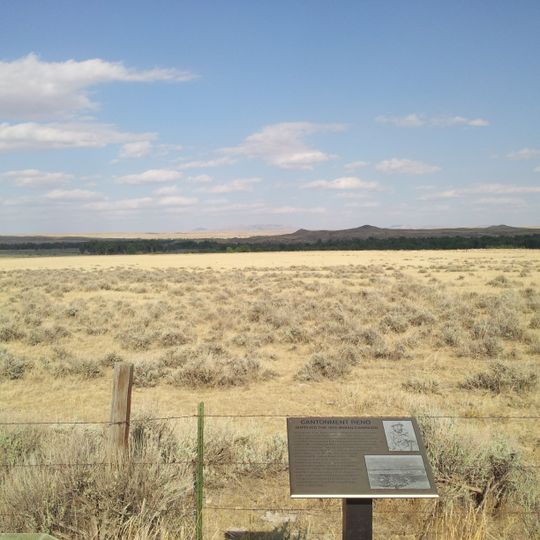
Cantonment Reno

Log in to your account

Start exploring — it's free

Trusted by 85,778 travelers worldwide

Continue with Google
Continue with Apple
or

We will send you a code to connect

By continuing, you accept our Terms and Conditions and our Privacy Policy

Check your inbox

We've sent a pincode in your inbox. Please enter the code below.

Discussion Reviews 1 Photos
1.3k Popularity

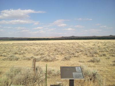
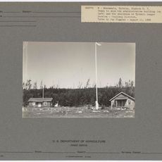
Cantonment Reno, Military outpost ruins in Johnson County, Wyoming, US.

Cantonment Reno is a military outpost from the 1860s located in remote Wyoming. The remaining structures include ruins of barracks, officers' quarters, and support buildings arranged across the site in patterns typical of frontier military design.

Established in 1865, the outpost served as a base for military operations and troop movements across the western frontier. It was part of a network of forts built to support the nation's westward expansion during that era.

The site reflects how military presence shaped control of western lands and relationships with Native communities. Walking through the remains, you can sense the tension between the fort's purpose and the territories it occupied.

The site is remote and requires planning before you visit. Interpretive signs throughout help explain the ruins, and sturdy shoes are recommended due to the uneven terrain and scattered stone foundations.

The site was named after Major General Jesse L. Reno, who died in the Civil War. This connection links the remote outpost directly to the larger events shaping the nation at that time.

The community of curious travelers

AroundUs brings together thousands of curated places, local tips, and hidden gems, enriched daily by 60,000 contributors worldwide.
Start exploring
Location
GPS coordinates
43.78637,-106.25447
Latest update
August 30, 2026 22:30
Around this place
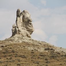
Teapot Rock
United States of America

Teapot Rock

38.4 mi
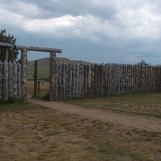
Fort Phil Kearny
United States of America

Fort Phil Kearny

58.9 mi
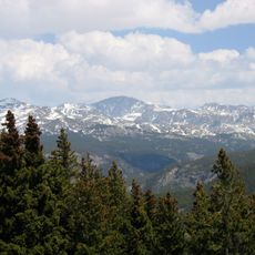
Cloud Peak
United States of America

Cloud Peak

61.5 mi
Bomber Mountain
United States of America

Bomber Mountain

60.3 mi
Cloud Peak Wilderness
United States of America

Cloud Peak Wilderness

63.3 mi
Black Tooth Mountain
United States of America

Black Tooth Mountain

62.7 mi
Jim Gatchell Memorial Museum
United States of America

Jim Gatchell Memorial Museum

44.7 mi
TA Ranch Historic District
United States of America

TA Ranch Historic District

32.8 mi
United States of America

Cloud Peak Glacier

61.5 mi
Mount Woolsey
United States of America

Mount Woolsey

62.5 mi
Bighorn Peak
United States of America

Bighorn Peak

53.4 mi
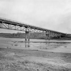
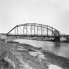
AJX Bridge over South Fork and Powder River
United States of America

AJX Bridge over South Fork and Powder River

19.8 mi
Holland House
United States of America

Holland House

44.9 mi
Darton Peak
United States of America

Darton Peak

54.4 mi
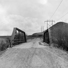
EDZ Irigary Bridge
United States of America

EDZ Irigary Bridge

11.8 mi
Union Congregational Church and Parsonage
United States of America

Union Congregational Church and Parsonage

44.5 mi
Main Street Historic District
United States of America

Main Street Historic District

44.6 mi
CKW Bridge over Powder River
United States of America

CKW Bridge over Powder River

63.4 mi
EDL Peloux Bridge
United States of America

EDL Peloux Bridge

44.6 mi
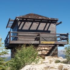
James T. Saban Lookout
United States of America

James T. Saban Lookout

53.5 mi
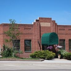
Gillette City Hall
United States of America

Gillette City Hall

59.5 mi
EAU Arvada Bridge
United States of America

EAU Arvada Bridge

60.7 mi
Johnson County Courthouse
United States of America

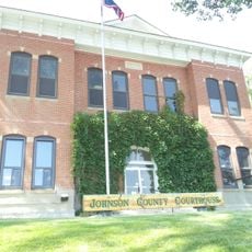
Johnson County Courthouse

44.7 mi
Ainsworth House
United States of America

Ainsworth House

52.9 mi
Dry Creek Petrified Tree Environmental Education Area
United States of America

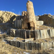
Dry Creek Petrified Tree Environmental Education Area

41.4 mi
Gillette Fishing Lake
United States of America

Gillette Fishing Lake

50.5 mi
Tyrrel Ranger Station
United States of America

Tyrrel Ranger Station

56.9 mi
Gillette College Pedestrian Bridge
United States of America

Gillette College Pedestrian Bridge

49.6 mi
Show the full map
Reviews
Share your experience

No review yet

Discussions
Start a discussion...

No discussion yet

« Cantonment Reno - Military outpost ruins in Johnson County, Wyoming, US » is provided by Around Us (aroundus.com). Images and texts are derived from Wikimedia project under a Creative Commons license. You are allowed to copy, distribute, and modify copies of this page, under the conditions set by the license, as long as this note is clearly visible.

Discover hidden gems everywhere you go!

From secret cafés to breathtaking viewpoints, skip the crowded tourist spots and find places that match your style. Our app makes it easy with voice search, smart filtering, route optimization, and insider tips from travelers worldwide. Download now for the complete mobile experience.
Around Us App Screenshot

A unique approach to discovering new places

Le Figaro

All the places worth exploring

France Info

A tailor-made excursion in just a few clicks

20 Minutes

Around Us
Travel Guide & Maps
Download

Send to your phone

QR Code
1

Open the camera app on your mobile.

2

Point at the QR code with your camera. A notification will appear.

3

Tap the notification to open the link.