Chest opened
+${chestReward.xp} XP
Explorer
NOUVEAU ×${chestReward.collectible.quantity}
tapez pour fermer

See the monuments around you in AR Open chests in the app

Around Us is built for your phone — point your camera at the streets and discover the monuments and places around you in augmented reality. Around Us is built for your phone — chests unlock when you walk, explore and capture nearby places.

Enable Location

We need your location to show you interesting places around you

Discover nearby places

Find interesting locations and hidden gems around you

Precise directions

Get accurate directions and distances to places

Your location is never shared with other users. It's only used when you tap the location button.

Log in to your account

Start exploring — it's free

Trusted by 87,009 travelers worldwide

Continue with Google
Continue with Apple
or

We will send you a code to connect

By continuing, you accept our Terms and Conditions and our Privacy Policy

Check your inbox

We've sent a pincode in your inbox. Please enter the code below.

Mule Creek Junction, Wyoming
Discussion Reviews Photo
3.2k Popularity

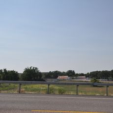
Mule Creek Junction, Wyoming, Rest area at crossroads in Niobrara County, Wyoming.

Mule Creek Junction is a roadside rest area at the crossing of US Highway 18 and US Highway 85, on the southwestern edge of the Black Hills in Niobrara County, Wyoming. The site has separate parking for trucks and cars, composting toilets, and covered picnic areas.

This crossing became a key passage during the 1875 Black Hills gold rush, when travelers and supply wagons moved through on their way to the mining camps near Deadwood. The route kept its role as a supply link long after the rush ended.

Informational panels at the stop describe the High Plains landscape and how this crossroads once linked communities across western Wyoming. Travelers today still use it as a natural pause point on long drives through this open country.

The stop is remote, so it helps to arrive with enough water and food, as no shops or fuel are available on site. Planning to stop during daylight hours makes navigation easier in this open and sparsely populated part of Wyoming.

A solar-powered water system, installed in 1985, supplies the stop with drinking water, but it still depends on regular truck deliveries to keep the tanks full. Without those deliveries, this spot would have no water at all, as there is no local groundwater to draw from.

The community of curious travelers

AroundUs brings together thousands of curated places, local tips, and hidden gems, enriched daily by 60,000 contributors worldwide.
Start exploring
GPS coordinates
43.37880,-104.22250
Latest update
September 12, 2026 03:35
Around this place
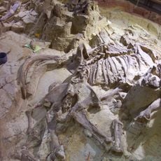
Mammoth Site, Hot Springs
United States of America

Mammoth Site, Hot Springs

37.3 mi
Angostura Reservoir
United States of America

Angostura Reservoir

40 mi
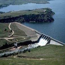
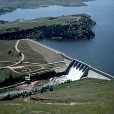
Angostura Dam
United States of America

Angostura Dam

39.6 mi
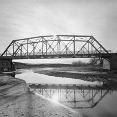
DSD Bridge over Cheyenne River
United States of America

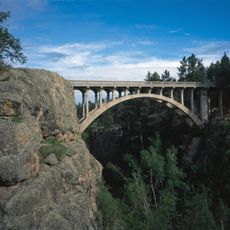
DSD Bridge over Cheyenne River

5.4 mi
Jenney Stockade Site
United States of America

Jenney Stockade Site

30.4 mi
Governor Leslie Jensen House
United States of America

Governor Leslie Jensen House

38 mi
Wyoming Army National Guard Cavalry Stable
United States of America

Wyoming Army National Guard Cavalry Stable

32.6 mi
Weston County Courthouse
United States of America

Weston County Courthouse

33.1 mi
Pig Tail Bridge
United States of America

Pig Tail Bridge

39.7 mi
State Soldiers Home Barn
United States of America

State Soldiers Home Barn

36.7 mi
Jewel Cave
United States of America

Jewel Cave

31.2 mi
Wind Cave
United States of America

Wind Cave

39.3 mi
Arthur and Ellen Colgan House
United States of America

Arthur and Ellen Colgan House

20.7 mi
Wind Cave National Park Administrative and Utility Area Historic District
United States of America

Wind Cave National Park Administrative and Utility Area Historic District

39.5 mi
Chilson Bridge
United States of America

Chilson Bridge

24.8 mi
Phillip Wesch House
United States of America

Phillip Wesch House

37 mi
Beaver Creek Rockshelter
United States of America

Beaver Creek Rockshelter

40.3 mi
Beaver Creek Bridge
United States of America

Beaver Creek Bridge

39.5 mi
Jewel Cave Ranger Station
United States of America

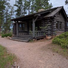
Jewel Cave Ranger Station

31.1 mi
Rankin Ridge Lookout Tower
United States of America

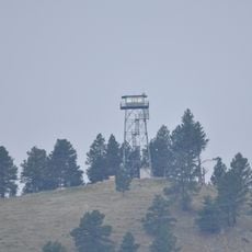
Rankin Ridge Lookout Tower

40.9 mi
Historic Trail and Cave Entrance
United States of America

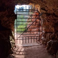
Historic Trail and Cave Entrance

31 mi
Pioneer Museum
United States of America

Pioneer Museum

37.6 mi
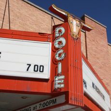
Dogie Theater
United States of America

Dogie Theater

33 mi
Wind Cave Visitor Center
United States of America

Wind Cave Visitor Center

39.3 mi
Jewel Cave Visitor Center
United States of America

Jewel Cave Visitor Center

31.3 mi
Elk Mountain Campground
United States of America

Elk Mountain Campground

39 mi
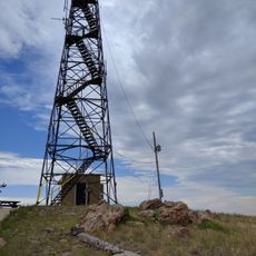
Elk Mountain Lookout Tower
United States of America

Elk Mountain Lookout Tower

25.6 mi
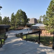
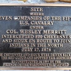
Warbonnet Battlefield Monument
United States of America

Warbonnet Battlefield Monument

40 mi
Show the full map
Reviews
Share your experience

No review yet

Discussions
Start a discussion...

No discussion yet

« Mule Creek Junction, Wyoming - Rest area at crossroads in Niobrara County, Wyoming » is provided by Around Us (aroundus.com). Images and texts are derived from Wikimedia project under a Creative Commons license. You are allowed to copy, distribute, and modify copies of this page, under the conditions set by the license, as long as this note is clearly visible.

Discover hidden gems everywhere you go!

From secret cafés to breathtaking viewpoints, skip the crowded tourist spots and find places that match your style. Our app makes it easy with voice search, smart filtering, route optimization, and insider tips from travelers worldwide. Download now for the complete mobile experience.
Around Us App Screenshot

A unique approach to discovering new places

Le Figaro

All the places worth exploring

France Info

A tailor-made excursion in just a few clicks

20 Minutes

Around Us
Travel Guide & Maps
Download

Send to your phone

QR Code
1

Open the camera app on your mobile.

2

Point at the QR code with your camera. A notification will appear.

3

Tap the notification to open the link.