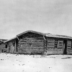
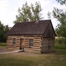
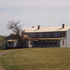
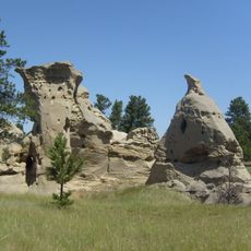
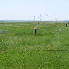
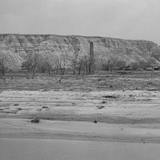
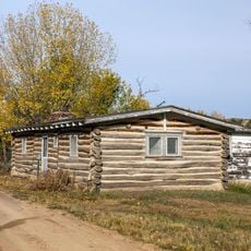
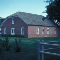
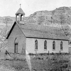
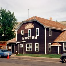
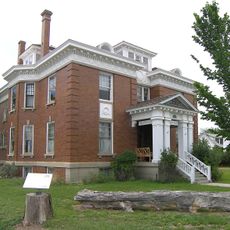
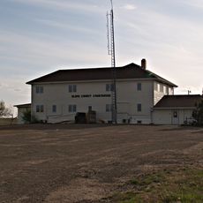
Marmarth, human settlement in Slope County, North Dakota, United States of America
Location: Slope County
Inception: 1907
Elevation above the sea: 826 m
Website: http://marmarth.org
GPS coordinates: 46.29472,-103.92306
Latest update: March 8, 2025 10:06
Enchanted Highway
106.5 kmMedora Musical
74.8 km
Elkhorn Ranch
107.1 km
Makoshika State Park
103.7 km
Theodore Roosevelt's Maltese Cross Cabin
75.6 km
Chateau de Mores
74.8 km
Medicine Rocks State Park
50.6 km
Fort Dilts
11.4 km
De Mores Packing Plant Ruins
75.5 km
Peaceful Valley Ranch
80.6 km
Von Hoffman House
75.5 km
St. Mary's Catholic Church
75.5 km
Carter County Museum
65.8 km
Billings County Courthouse
75.3 km
Mystic Theatre
117 m
Initial Rock
69.3 km
St. Peter's Catholic Church
79.8 km
Golden Valley Norwegian Lutheran Church
88.4 km
Merrill Avenue Historic District
108.5 km
Charles Krug House
108.7 km
Original Slope County Courthouse
50.6 km
Golden Valley County Courthouse
69.1 km
Wibaux Commercial Historic District
79.6 km
Adams County Courthouse
104.6 km
Cottonwood Creek Bridge
68.9 km
Peace Valley Evangelical Church and Cemetery
88.7 km
Blackstock Residence
108.6 km
Three V Crossing
30.9 kmVisited this place? Tap the stars to rate it and share your experience / photos with the community! Try now! You can cancel it anytime.
Discover hidden gems everywhere you go!
From secret cafés to breathtaking viewpoints, skip the crowded tourist spots and find places that match your style. Our app makes it easy with voice search, smart filtering, route optimization, and insider tips from travelers worldwide. Download now for the complete mobile experience.
A unique approach to discovering new places❞
— Le Figaro
All the places worth exploring❞
— France Info
A tailor-made excursion in just a few clicks❞
— 20 Minutes