Fort Peck Dam, Hydroelectric power station in McCone County, United States.
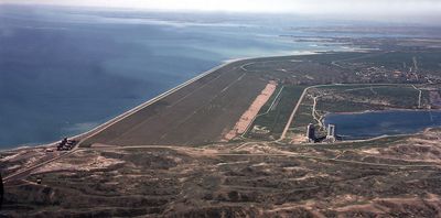
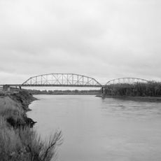
Fort Peck Dam is a hydroelectric facility on the Missouri River in Montana, spanning over six kilometers wide and rising 76 meters high. The power plant contains five turbines and ranks as the largest hydraulically filled earthen dam in the United States.
Construction began in 1933 during the Great Depression and employed more than ten thousand workers at its peak in July 1936. Completion of the dam took place in the early 1940s and served originally for flood control and power generation.
The name Fort Peck comes from a fur trading post that once stood near the present dam site. Margaret Bourke-White photographed the concrete intake towers for the very first cover of Life magazine in 1936.
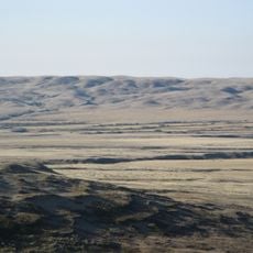
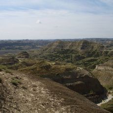
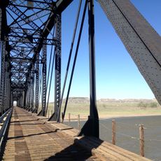
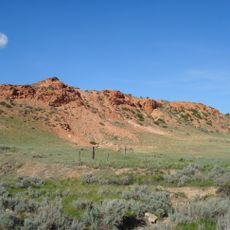
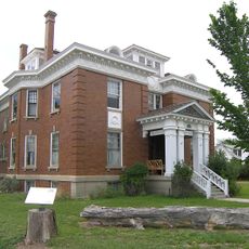
The visitor center offers exhibits about construction and operation of the facility along with information about viewing areas. Walks along the top of the dam provide views over the reservoir and surrounding prairie flatlands.
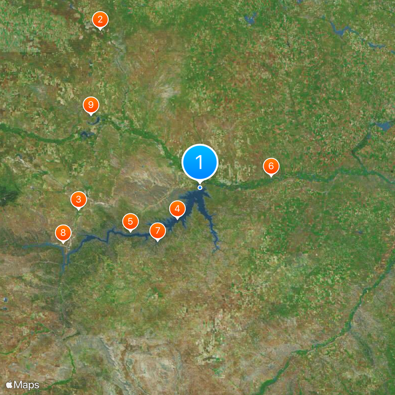
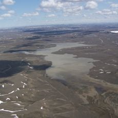
The reservoir Fort Peck Lake extends over 216 kilometers (134 miles) upstream and has a shoreline longer than the entire Pacific coast of California. The filling of the reservoir took several years after the dam was finished and created new habitats for fish and waterfowl.
Location: McCone County
Inception: 1933
Height: 76 m
GPS coordinates: 48.00280,-106.41600
Latest update: December 5, 2025 22:22
Grasslands National Park
151 km
American Prairie Reserve
100.7 km
Fort Peck Lake
31.2 km
Charles M. Russell National Wildlife Refuge
67.4 km
Montana Cowboy Hall of Fame
58.5 km
Hell Creek Recreational Area
55.7 km
UL Bend National Wildlife Refuge
120.9 km
Hewitt Lake National Wildlife Refuge
106.6 km
Yellowstone River Bridge
160.9 km
Great Plains Dinosaur Museum and Field Station
114.9 km
Lewis and Clark Bridge
66 km
Terry Badlands WSA
155.8 km
Skyland Camp-Bowman Lake Ranger Station
160.9 km
Merrill Avenue Historic District
162.4 km
Daniels County Courthouse
114.5 km
Charles Krug House
162.1 km
Sacred Heart Church
162.1 km
Powder River Bridge
159.3 km
Bell Street Bridge
161.9 km
First National Bank of Glasgow
26.8 km
Glendive City Water Filtration Plant
162 km
Phillips County Carnegie Library
115.4 km
Grandey Elementary School
158.6 km
Northern Pacific Railroad Settling Tanks
162 km
Fort Peck Original Houses Historic District
2.4 km
Glendive Dinosaur & Fossil Museum
162.3 km
Charles C. Sargent House
15.1 km
Blackstock Residence
162.2 kmVisited this place? Tap the stars to rate it and share your experience / photos with the community! Try now! You can cancel it anytime.
Discover hidden gems everywhere you go!
From secret cafés to breathtaking viewpoints, skip the crowded tourist spots and find places that match your style. Our app makes it easy with voice search, smart filtering, route optimization, and insider tips from travelers worldwide. Download now for the complete mobile experience.
A unique approach to discovering new places❞
— Le Figaro
All the places worth exploring❞
— France Info
A tailor-made excursion in just a few clicks❞
— 20 Minutes