UL Bend National Wildlife Refuge, Wildlife refuge in Phillips County, Montana.
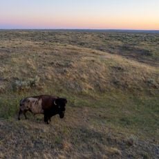
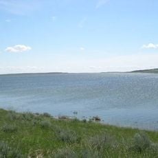
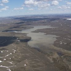
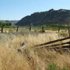
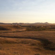
UL Bend National Wildlife Refuge is a protected area in Phillips County covering more than 56,000 acres with diverse habitats along the Missouri River. The refuge sits adjacent to the Charles M. Russell National Wildlife Refuge and Fort Peck Reservoir.
Early explorers recorded abundant wildlife and natural features in this Missouri River region during their 1805 expedition through the area. These early accounts established the region as a place of significant natural value long before its formal protection.
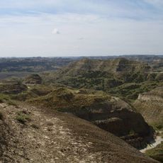
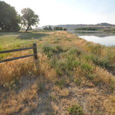
The refuge allows visitors to explore the land on foot or by non-motorized means, preserving a sense of wildness along the Missouri River corridor. This approach to visiting reflects a commitment to keeping human impact minimal in the landscape.
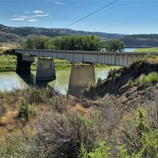
Access involves unpaved roads that are best navigated with a high-clearance vehicle, especially during wet seasons. Check local weather conditions and stop in nearby Zortman or Malta for updated information before heading out.
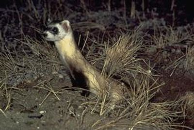
The refuge serves as a reintroduction site for black-footed ferrets, rare predators that depend on prairie dog colonies for food and shelter. This conservation work has made it a key location for restoring populations of this endangered species.
The community of curious travelers
AroundUs brings together thousands of curated places, local tips, and hidden gems, enriched daily by 60,000 contributors worldwide.