
Hiilaang Ts'uujuus Mountain, summit in Prince of Wales-Hyder Census Area, Alaska, United States of America
Location: Prince of Wales–Hyder Census Area
Location: Alaska
GPS coordinates: 55.06694,-133.15278
Latest update: June 14, 2025 07:30
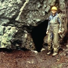
On Your Knees Cave
143.6 km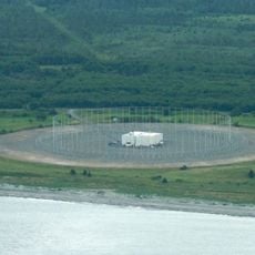
CFS Masset
133.4 km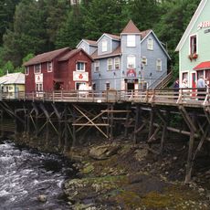
Creek Street
100.7 km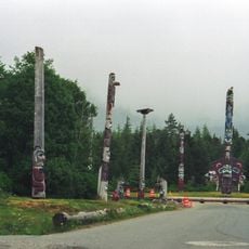
Saxman Totem Park
102.9 km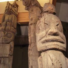
Totem Heritage Center
101.2 km
Forrester Island Wilderness
37.9 km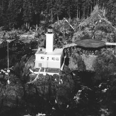
Cape Decision Light
121.1 km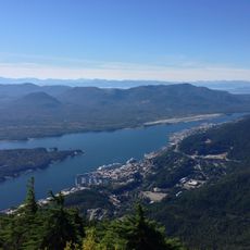
Deer Mountain
103.4 km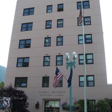
Ketchikan Federal Building
100.7 km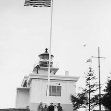
Guard Island Light
91 km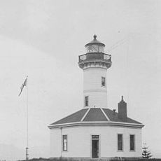
Mary Island Light
125.6 km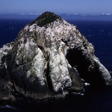
Hazy Islands Wilderness
128.1 km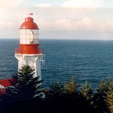
Langara Light
90.5 km
Lincoln Rock Light
113.8 km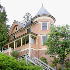
Burkhart-Dibrell House
100.6 km
Father William Duncan House
99.7 km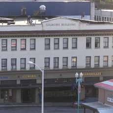
Gilmore Building
100.4 km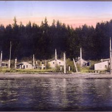
Chief Son-I-Hat's Whale House and Totems Historic District
70.4 km
Stedman-Thomas Historic District
100.8 km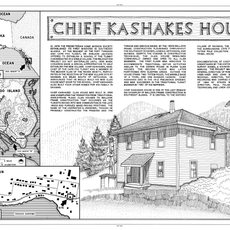
Chief Kashakes House
102.8 km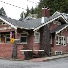
Walker-Broderick House
100.5 km
Etolin Canoe
131.2 km
Ziegler House
100.6 km
Ketchikan Ranger House
100.1 km
Downtown Ketchikan Historic District
101.1 km
Totem Heritage Center
101.2 km
Rotary Beach
103.6 km
Fishing. Ketchikan adventure tours
100.8 kmReviews
Visited this place? Tap the stars to rate it and share your experience / photos with the community! Try now! You can cancel it anytime.
Discover hidden gems everywhere you go!
From secret cafés to breathtaking viewpoints, skip the crowded tourist spots and find places that match your style. Our app makes it easy with voice search, smart filtering, route optimization, and insider tips from travelers worldwide. Download now for the complete mobile experience.

A unique approach to discovering new places❞
— Le Figaro
All the places worth exploring❞
— France Info
A tailor-made excursion in just a few clicks❞
— 20 Minutes