Pine Rapids, rapids in British Columbia, Canada
Location: British Columbia
GPS coordinates: 59.03284,-129.77014
Latest update: November 1, 2025 06:58
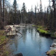
Liard River Hot Springs Provincial Park
214.9 km
Level Mountain
114.2 km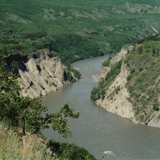
Grand Canyon of the Stikine
119.7 km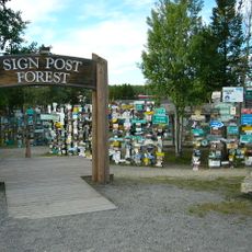
Sign Post Forest
129.2 km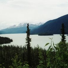
Muncho Lake Provincial Park
215 km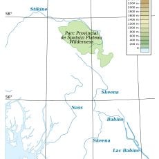
Spatsizi Plateau Wilderness Provincial Park
194.7 km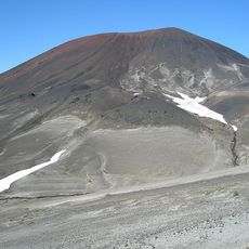
Cocoa Crater
163.2 km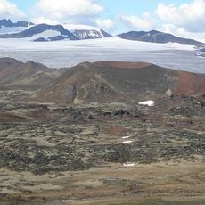
Tencho Glacier
162.4 km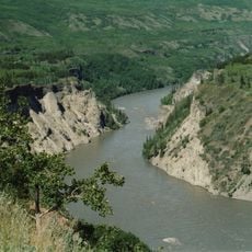
Stikine River Provincial Park
130.3 km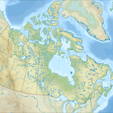
Todagin South Slope Provincial Park
157.9 km
Tā Ch’ilā Provincial Park
55.3 km
Isspah Butte
101.3 km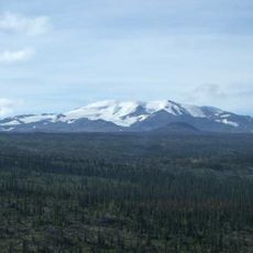
Mount Edziza Provincial Park and Recreation Area
169.7 km
Mineral Lick Trail
222 km
Monarch Mountain Viewpoint
226.4 km
Boulder Canyon Trail
226.6 km
Liard River Hot Springs
213.6 km
Tower, Observation tower, scenic viewpoint
152.8 km
Scenic viewpoint
228.4 km
Liard river
163.4 km
Teeter Creek Trail
206.6 km
Scenic viewpoint
230 km
Cascade Waterfalls Viewpoint
176 km
Viewpoint Beaver dam
54 km
Teslin Lake
211.2 km
Scenic viewpoint
207.1 km
Teslin Lake Viewpoint
215.8 km
Cascade Waterfalls Viewpoint
176.1 kmReviews
Visited this place? Tap the stars to rate it and share your experience / photos with the community! Try now! You can cancel it anytime.
Discover hidden gems everywhere you go!
From secret cafés to breathtaking viewpoints, skip the crowded tourist spots and find places that match your style. Our app makes it easy with voice search, smart filtering, route optimization, and insider tips from travelers worldwide. Download now for the complete mobile experience.

A unique approach to discovering new places❞
— Le Figaro
All the places worth exploring❞
— France Info
A tailor-made excursion in just a few clicks❞
— 20 Minutes