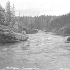
Peace River, Major river in British Columbia and Alberta, Canada
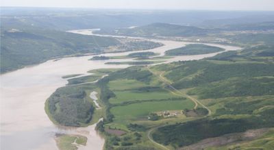
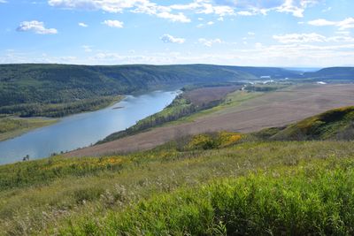
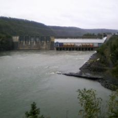
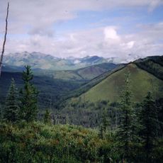
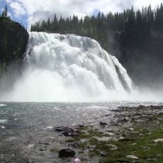
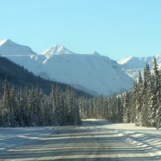
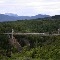
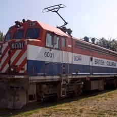
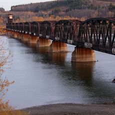
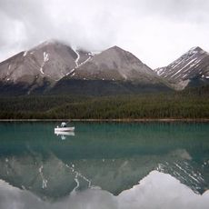
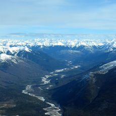
The Peace River is a major waterway that flows over 1,900 kilometers from the Rocky Mountains through northern British Columbia and Alberta before joining the Slave River. Several dams, especially the W.A.C. Bennett Dam, harness its water for power generation and shape the landscape today.
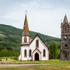
The river received its name in the late 1700s during negotiations between European settlers and Indigenous peoples that led to territorial treaties. European settlement and later hydroelectric development transformed the region over the following centuries.
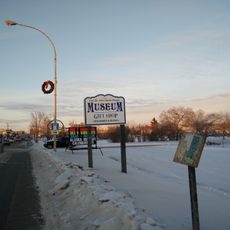
The river has long been central to the lives of the Danezaa people, who settled along its banks and relied on it for food and trade. This connection to traditional ways remains visible in local place names and the stories people tell about the region.
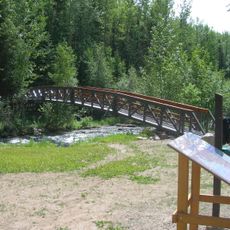
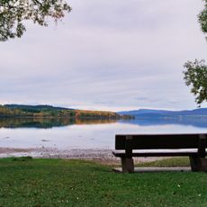
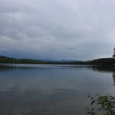
The river area is best explored by car or boat, with conditions varying by season throughout the region. Summer is the best time to visit, when roads are most accessible and the weather is warmer.
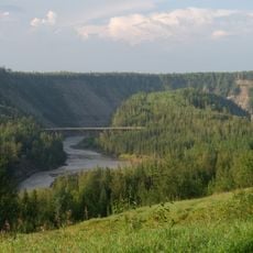
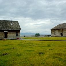
The river valley is home to one of North America's northernmost farming regions, where grain has been grown since the 1800s. This farmland, surprising in such a wild setting, shows how deeply people have shaped the area.
The community of curious travelers
AroundUs brings together thousands of curated places, local tips, and hidden gems, enriched daily by 60,000 contributors worldwide.