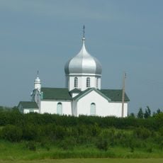
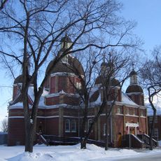
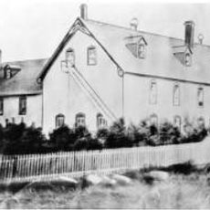
Mullingar, Organized hamlet in Saskatchewan, Canada
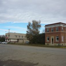
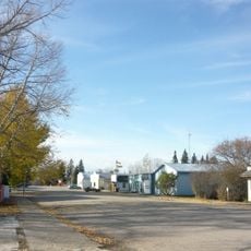
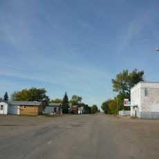
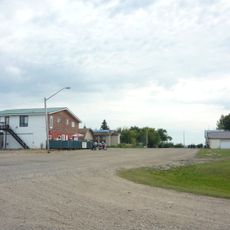
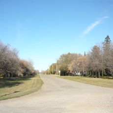
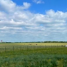
Mullingar is an organized hamlet in Saskatchewan situated within agricultural lands and open prairie landscape. The settlement is located in Meeting Lake Rural Municipality No. 466 and functions as a small residential community among Saskatchewan's rural areas.
The settlement received its name in 1909 when Mark Comerford closed his eyes and pointed randomly to a location on an Ireland map. This naming method reflects the informal ways that many prairie communities came to be identified during Saskatchewan's early settlement period.
The hamlet operates under Saskatchewan's organized hamlet structure, which requires at least five occupied dwellings on separate lots within the community.
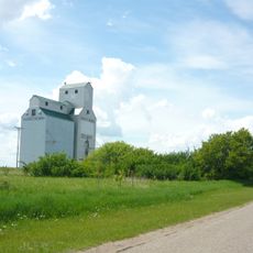
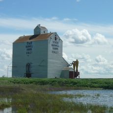
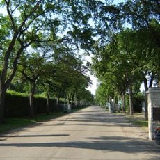
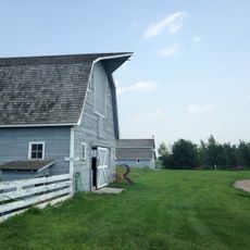
The hamlet is situated in a farming region where roads typically follow the grid pattern common to prairie settlements. Limited services and facilities are available on site, so plan to access amenities in nearby larger communities.
The settlement spans 0.09 square kilometers of land within Census Division 16, marking its position at 53.0836 latitude and -107.662 longitude.
The community of curious travelers
AroundUs brings together thousands of curated places, local tips, and hidden gems, enriched daily by 60,000 contributors worldwide.