Chest opened
+${chestReward.xp} XP
Explorer
NOUVEAU ×${chestReward.collectible.quantity}
tapez pour fermer

See the monuments around you in AR Open chests in the app

Around Us is built for your phone — point your camera at the streets and discover the monuments and places around you in augmented reality. Around Us is built for your phone — chests unlock when you walk, explore and capture nearby places.

Enable Location

We need your location to show you interesting places around you

Discover nearby places

Find interesting locations and hidden gems around you

Precise directions

Get accurate directions and distances to places

Your location is never shared with other users. It's only used when you tap the location button.

Texas Panhandle

Log in to your account

Start exploring — it's free

Trusted by 84,918 travelers worldwide

Continue with Google
Continue with Apple
or

We will send you a code to connect

By continuing, you accept our Terms and Conditions and our Privacy Policy

Check your inbox

We've sent a pincode in your inbox. Please enter the code below.

Texas Panhandle
Discussion Reviews 1 Photos
132k Popularity

Texas Panhandle, Geographic region in northern Texas, United States

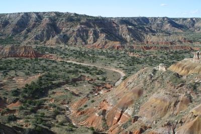
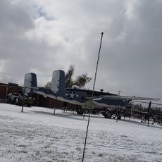
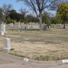
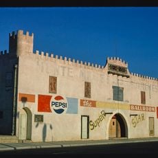
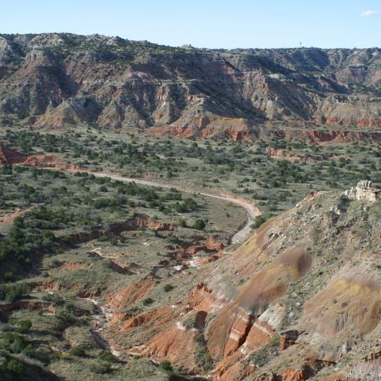
The Texas Panhandle covers a wide stretch of northern Texas with flat terrain and a notable escarpment rising in the east. This zone spreads across many counties and borders Oklahoma to the north and New Mexico to the west.

Nomadic peoples lived across this prairie for centuries before Spanish explorers passed through in the 16th century. Later, ranchers and rail lines arrived, creating small towns across the wide plains.

The name comes from the area's shape on a map, which looks like the handle of a frying pan. Along the old Route 66, travelers pass through small towns with grain elevators and windmills standing over open fields.

Weather shifts sharply between hot summers and cold winters, so travelers should pack clothes for both conditions. Distances between places are wide, and a car makes moving around much easier.

Near Amarillo, an art piece made from ten upright cars planted in the ground marks the roadside prairie. Further north, large underground water reserves allow farming in this dry area.

The community of curious travelers

AroundUs brings together thousands of curated places, local tips, and hidden gems, enriched daily by 60,000 contributors worldwide.
Start exploring
Location
GPS coordinates
35.45000,-101.50000
Latest update
August 30, 2026 10:00
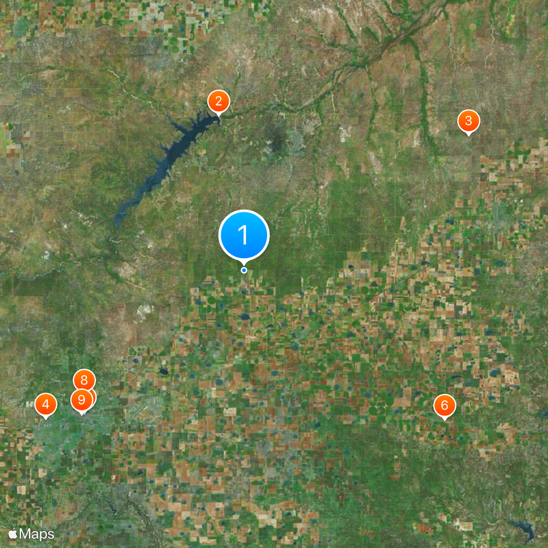
Around this place
Lake Meredith
United States of America

Lake Meredith

18.5 mi
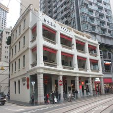
Woo Cheong Pawn Shop
China

Woo Cheong Pawn Shop

30.8 mi
Don Harrington Discovery Center
United States of America

Don Harrington Discovery Center

29 mi
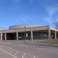
Amarillo Civic Center
United States of America

Amarillo Civic Center

25.1 mi
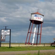
Leaning Tower of Britten
United States of America

Leaning Tower of Britten

29.3 mi
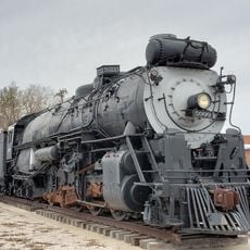
Atchison, Topeka and Santa Fe Railway 5000
United States of America

Atchison, Topeka and Santa Fe Railway 5000

24.9 mi
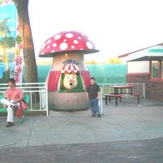
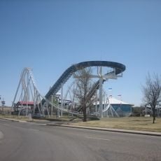
Wonderland Park
United States of America

Wonderland Park

23.6 mi
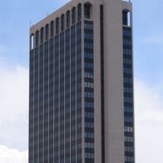
Chase Tower
United States of America

Chase Tower

25.4 mi
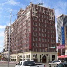
Santa Fe Building
United States of America

Santa Fe Building

25.5 mi
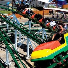
Mayan Mindbender
United States of America

Mayan Mindbender

23.6 mi
Amarillo National Bank Sox Stadium
United States of America

Amarillo National Bank Sox Stadium

23.9 mi
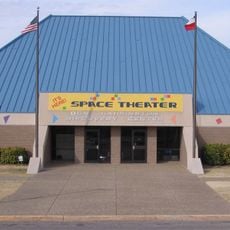
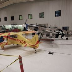
Texas Air & Space Museum
United States of America

Texas Air & Space Museum

19.7 mi
Texas Tornado
United States of America

Texas Tornado

23.5 mi
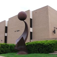
Amarillo Museum of Art
United States of America

Amarillo Museum of Art

26.6 mi
Amarillo Zoo
United States of America

Amarillo Zoo

23.9 mi
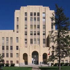
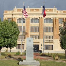
Potter County Courthouse
United States of America

Potter County Courthouse

25.3 mi
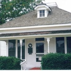
Carson County Square House Museum
United States of America

Carson County Square House Museum

9.9 mi
Sacred Heart Cathedral
United States of America

Sacred Heart Cathedral

25.5 mi
J. Marvin Jones Federal Building and United States Courthouse
United States of America

J. Marvin Jones Federal Building and United States Courthouse

25.2 mi
Cruz Gigante de Groom
United States of America

Cruz Gigante de Groom

27 mi
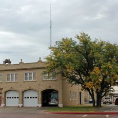
Central Fire Station
United States of America

Central Fire Station

30.9 mi
Gray County Courthouse
United States of America

Gray County Courthouse

30.8 mi
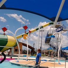
Pampa H2O Aquatic Center
United States of America

Pampa H2O Aquatic Center

30.4 mi
Courtyard by Marriott, Downtown Amarillo
United States of America

Courtyard by Marriott, Downtown Amarillo

25.5 mi
Pampa City Hall
United States of America

Pampa City Hall

30.8 mi
Freedom Museum USA
United States of America

Freedom Museum USA

30.4 mi
Llano Cemetery
United States of America

Llano Cemetery

26.1 mi
Amarillo Natatorium
United States of America

Amarillo Natatorium

26.5 mi
Show the full map
Reviews
Share your experience

No review yet

Discussions
Start a discussion...

No discussion yet

« Texas Panhandle - Geographic region in northern Texas, United States » is provided by Around Us (aroundus.com). Images and texts are derived from Wikimedia project under a Creative Commons license. You are allowed to copy, distribute, and modify copies of this page, under the conditions set by the license, as long as this note is clearly visible.

Discover hidden gems everywhere you go!

From secret cafés to breathtaking viewpoints, skip the crowded tourist spots and find places that match your style. Our app makes it easy with voice search, smart filtering, route optimization, and insider tips from travelers worldwide. Download now for the complete mobile experience.
Around Us App Screenshot

A unique approach to discovering new places

Le Figaro

All the places worth exploring

France Info

A tailor-made excursion in just a few clicks

20 Minutes

Around Us
Travel Guide & Maps
Download

Send to your phone

QR Code
1

Open the camera app on your mobile.

2

Point at the QR code with your camera. A notification will appear.

3

Tap the notification to open the link.