Beckham County

Log in to your account

AroundUs is a community-driven map of interesting places, built by curious explorers like you. It grows with every review, story, and photo you share.
Connect to save your favorite spots, contribute locations, and create personalized routes.
By continuing, you accept our Terms and Conditions and our Privacy Policy
Add to collection
Map
Suggest a change
Share

Beckham County, Administrative county in western Oklahoma, United States

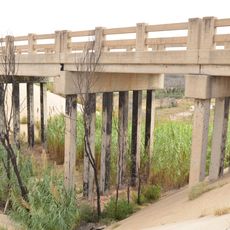
Beckham County is an administrative county in western Oklahoma that spans across a large rural area. Several waterways and tributary creeks flow through the landscape, shaping the geography of the region.

The area was established as a county in 1907 during Oklahoma's formation as a state. It was named in honor of a notable figure from early American politics.

The county maintains strong agricultural traditions with substantial production of cotton, wheat, and alfalfa, supporting numerous local farming communities.

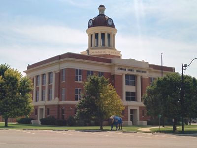
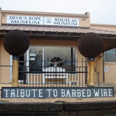
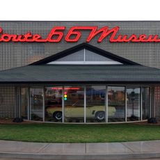
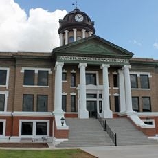
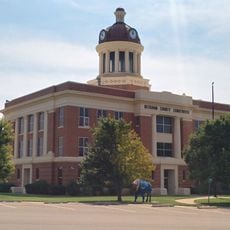
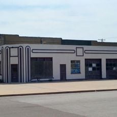
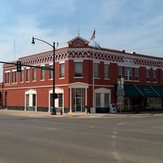
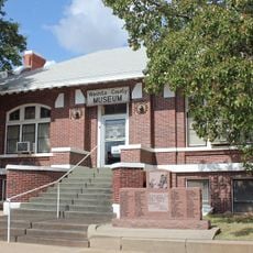
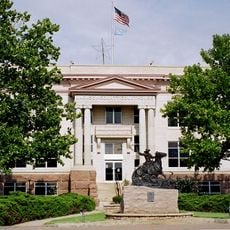
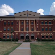
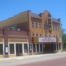
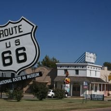
Main roads and highways connect the various towns and communities across the county for exploration. Sayre functions as the administrative center and serves as the main reference point for visitors.

The county forms part of the Elk City Micropolitan Statistical Area with a population density of 24.5 people per square mile.

Location: Oklahoma

Inception: July 16, 1907

Capital city: Sayre

Shares border with: Roger Mills County, Harmon County, Collingsworth County, Wheeler County, Greer County, Kiowa County, Washita County, Custer County

Website: http://beckham.okcounties.org

GPS coordinates: 35.26000,-99.69000

Latest update: December 8, 2025 13:40

Photos
Around this place
Show the full map
Foss Reservoir
United States of America

Foss Reservoir

54.6 km
Great Plains State Park
United States of America

Great Plains State Park

83.9 km
Quartz Mountain Nature Park
United States of America

Quartz Mountain Nature Park

52 km
Fort Elliott
United States of America

Fort Elliott

75.2 km
Devils Rope Barbed Wire Museum
United States of America

Devils Rope Barbed Wire Museum

82.5 km
Magnolia Service Station
United States of America

Magnolia Service Station

27.8 km
Washita National Wildlife Refuge
United States of America

Washita National Wildlife Refuge

55.6 km
Oklahoma Route 66 Museum
United States of America

Oklahoma Route 66 Museum

69.5 km
Storm House
United States of America

Storm House

30.3 km
Washita County Courthouse
United States of America

Washita County Courthouse

63.8 km
Beckham County Courthouse
United States of America

Beckham County Courthouse

6 km
Route 66 Bridge over the Chicago, Rock Island and Gulf Railroad
United States of America

Route 66 Bridge over the Chicago, Rock Island and Gulf Railroad

38 km
Perryman Ranch Headquarters
United States of America

Perryman Ranch Headquarters

62.9 km
Sayre Champlin Service Station
United States of America

Sayre Champlin Service Station

5.6 km
Sayre Downtown Historic District
United States of America

Sayre Downtown Historic District

5.8 km
W.C. Baker House
United States of America

W.C. Baker House

76.5 km
Cordell Carnegie Public Library
United States of America

Cordell Carnegie Public Library

63.8 km
Jackson County Courthouse
United States of America

Jackson County Courthouse

76.4 km
National Rt 66 and Transportation Museum
United States of America

National Rt 66 and Transportation Museum

28.5 km
Canute Service Station
United States of America

Canute Service Station

41.3 km
J. W. Danner House
United States of America

J. W. Danner House

6 km
Greer County Courthouse
United States of America

Greer County Courthouse

46.3 km
Hobart City Hall
United States of America

Hobart City Hall

60.3 km
Devil's Rope Museum
United States of America

Devil's Rope Museum

82.5 km
Pioneer West Museum
United States of America

Pioneer West Museum

51 km
Ritz Theatre
United States of America

Ritz Theatre

65.6 km
National Route 66 Museum
United States of America

National Route 66 Museum

28.5 km
McLean Commercial Historic District
United States of America

McLean Commercial Historic District

82.8 km
Show the full map
Reviews

Visited this place? Tap the stars to rate it and share your experience / photos with the community! Try now! You can cancel it anytime.

Administrative divisions
« Beckham County - Administrative county in western Oklahoma, United States » is provided by Around Us (aroundus.com). Images and texts are derived from Wikimedia project under a Creative Commons license. You are allowed to copy, distribute, and modify copies of this page, under the conditions set by the license, as long as this note is clearly visible.

Discover hidden gems everywhere you go!

From secret cafés to breathtaking viewpoints, skip the crowded tourist spots and find places that match your style. Our app makes it easy with voice search, smart filtering, route optimization, and insider tips from travelers worldwide. Download now for the complete mobile experience.

Around Us App Screenshot

A unique approach to discovering new places

Le Figaro

All the places worth exploring

France Info

A tailor-made excursion in just a few clicks

20 Minutes