Enable Location

We need your location to show you interesting places around you

Discover nearby places

Find interesting locations and hidden gems around you

Precise directions

Get accurate directions and distances to places

Your location is never shared with other users. It's only used when you tap the location button.

Gray County

Log in to your account

Start exploring — it's free

Trusted by 62,060 travelers worldwide

Continue with Google
Continue with Apple
or

We will send you a code to connect

By continuing, you accept our Terms and Conditions and our Privacy Policy

Check your inbox

We've sent a pincode in your inbox. Please enter the code below.

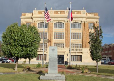
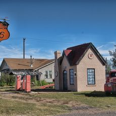
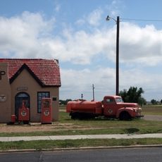
Gray County, County in Texas Panhandle, United States.

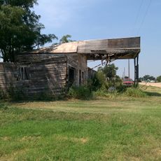
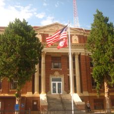
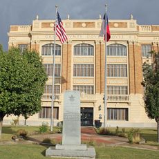
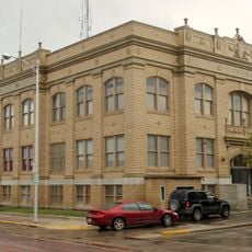
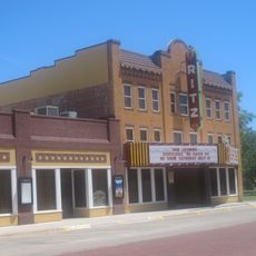
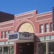
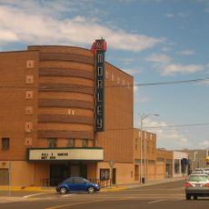
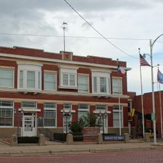
Gray County is an administrative region in the Texas Panhandle with a total land area spanning about 926 square miles. The terrain features gently rolling grasslands and prairie, with Pampa serving as its main population center and seat of administration.

The county was established in 1876 and officially organized in 1902, taking its name from Peter W. Gray, a Confederate attorney during the American Civil War. Its founding occurred during the western expansion and settlement period of the Panhandle region.

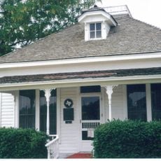
The county population grew to 21,227 residents by 2020, with a substantial Hispanic community representing 30 percent of the inhabitants.

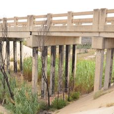
Interstate 40 and U.S. Highway 60 provide main road connections to neighboring areas and make travel through the region straightforward. These highways help visitors access the surrounding grasslands and natural areas easily.

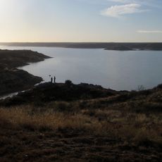
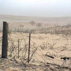
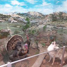
McClellan Creek National Grassland spreads across portions of the county, providing protected green spaces in the heart of the region. This managed natural area forms an important part of the local landscape.

The community of curious travelers

AroundUs brings together thousands of curated places, local tips, and hidden gems, enriched daily by 60,000 contributors worldwide.

Start exploring
Location
Inception
1876
Capital city
Pampa
Elevation above the sea
872 m
Shares border with
Armstrong County, Roberts County, Wheeler County, Donley County, Carson County, Hemphill County, Collingsworth County
GPS coordinates
35.41000,-100.81000
Latest update
December 7, 2025 20:47
Around this place
Lake Meredith
United States of America

Lake Meredith

75.3 km
JA Ranch
United States of America

JA Ranch

74.5 km
Leaning Tower of Britten
United States of America

Leaning Tower of Britten

34.2 km
McClellan Creek National Grassland
United States of America

McClellan Creek National Grassland

22.8 km
Fort Elliott
United States of America

Fort Elliott

34.2 km
Devils Rope Barbed Wire Museum
United States of America

Devils Rope Barbed Wire Museum

27.7 km
Charles and Mary Ann Goodnight Ranch House
United States of America

Charles and Mary Ann Goodnight Ranch House

54.2 km
Magnolia Service Station
United States of America

Magnolia Service Station

77.3 km
Carson County Square House Museum
United States of America

Carson County Square House Museum

52.3 km
Route 66 Bridge over the Chicago, Rock Island and Gulf Railroad
United States of America

Route 66 Bridge over the Chicago, Rock Island and Gulf Railroad

67.2 km
Cruz Gigante de Groom
United States of America

Cruz Gigante de Groom

36.1 km
Donley County Courthouse and Jail
United States of America

Donley County Courthouse and Jail

53.1 km
Roberts County Courthouse
United States of America

Roberts County Courthouse

35.2 km
Hall County Courthouse
United States of America

Hall County Courthouse

80.1 km
Gray County Courthouse
United States of America

Gray County Courthouse

19.8 km
Devil's Rope Museum
United States of America

Devil's Rope Museum

27.7 km
Pioneer West Museum
United States of America

Pioneer West Museum

55.4 km
Pampa City Hall
United States of America

Pampa City Hall

19.7 km
Freedom Museum USA
United States of America

Freedom Museum USA

20.4 km
Sandell Drive-In
United States of America

Sandell Drive-In

52.4 km
Ritz Theatre
United States of America

Ritz Theatre

82.3 km
Palace Theatre
United States of America

Palace Theatre

68.1 km
Morley Theatre
United States of America

Morley Theatre

60.1 km
White Deer Land Company Building
United States of America

White Deer Land Company Building

19.5 km
McLean Commercial Historic District
United States of America

McLean Commercial Historic District

27.4 km
Phillips 66 Station (McLean, Texas)
United States of America

Phillips 66 Station (McLean, Texas)

27.3 km
Roberts County Museum
United States of America

Roberts County Museum

35.1 km
Canadian River Wagon Bridge
United States of America

Canadian River Wagon Bridge

70.4 km
Show the full map
Administrative divisions
« Gray County - County in Texas Panhandle, United States » is provided by Around Us (aroundus.com). Images and texts are derived from Wikimedia project under a Creative Commons license. You are allowed to copy, distribute, and modify copies of this page, under the conditions set by the license, as long as this note is clearly visible.

Discover hidden gems everywhere you go!

From secret cafés to breathtaking viewpoints, skip the crowded tourist spots and find places that match your style. Our app makes it easy with voice search, smart filtering, route optimization, and insider tips from travelers worldwide. Download now for the complete mobile experience.

Around Us App Screenshot

A unique approach to discovering new places

Le Figaro

All the places worth exploring

France Info

A tailor-made excursion in just a few clicks

20 Minutes

Around Us
Travel Guide & Maps
Download

Send to your phone

QR Code
1

Open the camera app on your mobile.

2

Point at the QR code with your camera. A notification will appear.

3

Tap the notification to open the link.