Enable Location

We need your location to show you interesting places around you

Discover nearby places

Find interesting locations and hidden gems around you

Precise directions

Get accurate directions and distances to places

Your location is never shared with other users. It's only used when you tap the location button.

Garvin County

Log in to your account

Start exploring — it's free

Trusted by 62,830 travelers worldwide

Continue with Google
Continue with Apple
or

We will send you a code to connect

By continuing, you accept our Terms and Conditions and our Privacy Policy

Check your inbox

We've sent a pincode in your inbox. Please enter the code below.

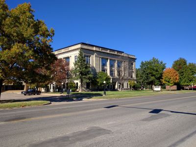
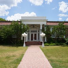
Garvin County, County in south-central Oklahoma, United States.

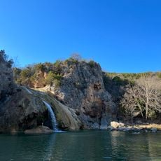
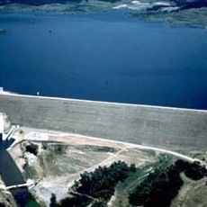
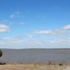
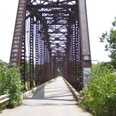
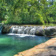
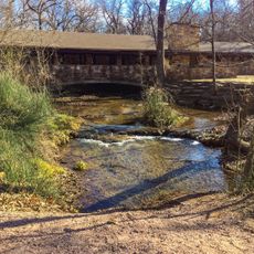
Garvin County is a county in south-central Oklahoma with rivers and rolling terrain that define its landscape. The area sits between different geographic zones and is shaped by several waterways.

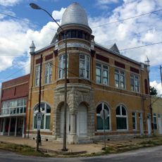
The area was originally part of Chickasaw Nation territory and became a separate county in 1907. It was named after Samuel J. Garvin, a local Chickasaw rancher who built businesses in the region.

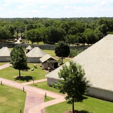
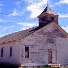
The region carries strong connections to Chickasaw Nation heritage and indigenous traditions. These ties remain visible in local place names and in how communities remember their past.

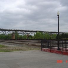
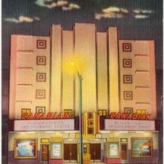
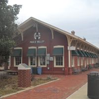
The area is accessible via Interstate 35 and multiple state highways that connect all towns in the region. A train stops in Pauls Valley, making it possible to visit without a car.

The region was an important oil production zone with fields that generated millions of barrels through the 1990s. This oil industry shaped the economy and landscape for decades.

The community of curious travelers

AroundUs brings together thousands of curated places, local tips, and hidden gems, enriched daily by 60,000 contributors worldwide.

Start exploring
Location
Inception
July 16, 1907
Capital city
Pauls Valley
Shares border with
McClain County, Carter County, Pontotoc County, Murray County, Grady County, Stephens County
GPS coordinates
34.71000,-97.31000
Latest update
December 7, 2025 20:21
Around this place
Greater Wynnewood Exotic Animal Park
United States of America

Greater Wynnewood Exotic Animal Park

13 km
Turner Falls
United States of America

Turner Falls

35 km
Turner Falls Park
United States of America

Turner Falls Park

34.5 km
Sam Noble Oklahoma Museum of Natural History
United States of America

Sam Noble Oklahoma Museum of Natural History

55.4 km
National Weather Center
United States of America

National Weather Center

53.8 km
Lake of the Arbuckles
United States of America

Lake of the Arbuckles

40.2 km
National Weather Service Norman, Oklahoma
United States of America

National Weather Service Norman, Oklahoma

53.9 km
Lake Thunderbird State Park
United States of America

Lake Thunderbird State Park

56.1 km
Chickasaw Cultural Center
United States of America

Chickasaw Cultural Center

37.6 km
Wanette–Byars Bridge
United States of America

Wanette–Byars Bridge

33.3 km
James C. Nance Memorial Bridge
United States of America

James C. Nance Memorial Bridge

34.1 km
Bethel Missionary Baptist Church
United States of America

Bethel Missionary Baptist Church

28.9 km
Sugg Clinic
United States of America

Sugg Clinic

58.2 km
Pontotoc County Courthouse
United States of America

Pontotoc County Courthouse

58.1 km
University of Oklahoma Observatory
United States of America

University of Oklahoma Observatory

56.2 km
Black Theater of Ardmore
United States of America

Black Theater of Ardmore

62.5 km
Ada Arts and Heritage Center
United States of America

Ada Arts and Heritage Center

58.3 km
Ardmore Carnegie Library
United States of America

Ardmore Carnegie Library

62.2 km
McClain County Courthouse
United States of America

McClain County Courthouse

34.1 km
Murray County Courthouse
United States of America

Murray County Courthouse

38.3 km
Garvin County Courthouse
United States of America

Garvin County Courthouse

8.8 km
Travertine Creek
United States of America

Travertine Creek

38.6 km
First National Bank Building
United States of America

First National Bank Building

33.2 km
Travertine Nature Center
United States of America

Travertine Nature Center

40.2 km
Cold Springs Campground Comfort Station #30
United States of America

Cold Springs Campground Comfort Station #30

39.8 km
Canadian Theater
United States of America

Canadian Theater

33.9 km
Bromide Pavilion
United States of America

Bromide Pavilion

38.2 km
Cold Springs Campground
United States of America

Cold Springs Campground

39.8 km
Show the full map
Administrative divisions
« Garvin County - County in south-central Oklahoma, United States » is provided by Around Us (aroundus.com). Images and texts are derived from Wikimedia project under a Creative Commons license. You are allowed to copy, distribute, and modify copies of this page, under the conditions set by the license, as long as this note is clearly visible.

Discover hidden gems everywhere you go!

From secret cafés to breathtaking viewpoints, skip the crowded tourist spots and find places that match your style. Our app makes it easy with voice search, smart filtering, route optimization, and insider tips from travelers worldwide. Download now for the complete mobile experience.

Around Us App Screenshot

A unique approach to discovering new places

Le Figaro

All the places worth exploring

France Info

A tailor-made excursion in just a few clicks

20 Minutes

Around Us
Travel Guide & Maps
Download

Send to your phone

QR Code
1

Open the camera app on your mobile.

2

Point at the QR code with your camera. A notification will appear.

3

Tap the notification to open the link.