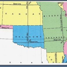
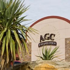
Pauls Valley, city in Oklahoma, United States
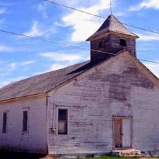
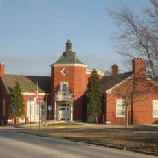
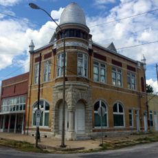
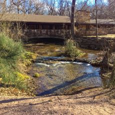
Pauls Valley is a small city in Garvin County, Oklahoma, with a relaxed pace and friendly residents. The downtown area features historic buildings, antique shops, museums including a Depot Museum and Toy and Action Figure Museum, along with local restaurants and cafes.
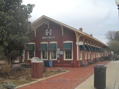
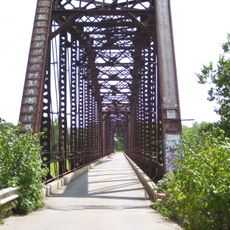
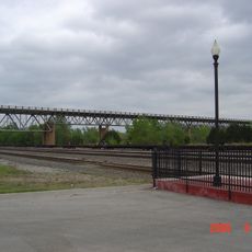
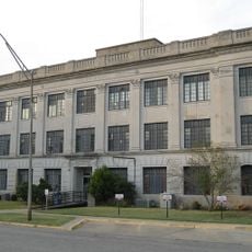
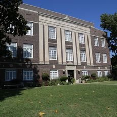
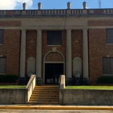
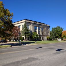
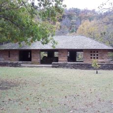
Pauls Valley was founded in the late 1800s as settlers developed the fertile farmland of the region. The 1905 Santa Fe Depot and early 1900s Garvin County Courthouse became key landmarks that show how rail connections and government infrastructure shaped the town's growth.
Pauls Valley is named after an early settler and reflects the region's settlement heritage. The community gathers for yearly fairs and local events that bring neighbors together and celebrate shared traditions.
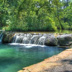
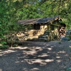
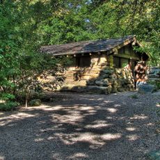
Walking through downtown is the best way to explore, as shops, museums, and restaurants are within easy reach of each other. Several parks and open spaces are scattered throughout the town for resting and enjoying the surroundings at your own pace.
The Toy and Action Figure Museum displays collections of toys from movies, comics, and television shows, creating a nostalgic experience for visitors of all ages. This specialized collection is surprising to find in a small town and draws regular visits from collectors and families.
The community of curious travelers
AroundUs brings together thousands of curated places, local tips, and hidden gems, enriched daily by 60,000 contributors worldwide.