Poteau, city in Oklahoma, United States
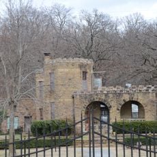
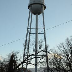
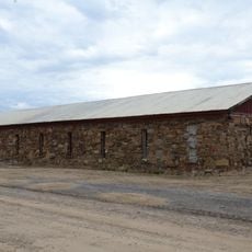
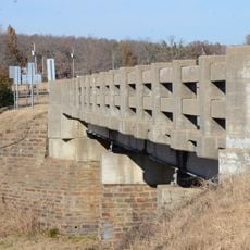
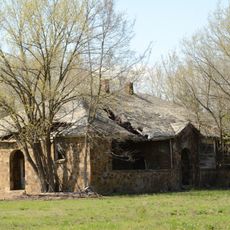
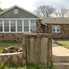
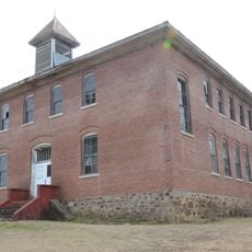
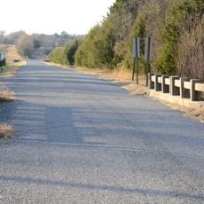
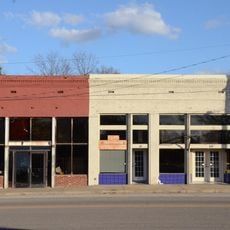
Poteau is a city in LeFlore County, Oklahoma, serving as a local hub in the southeastern part of the state. The city features a mix of residential neighborhoods, commercial areas, and public spaces that define its character.
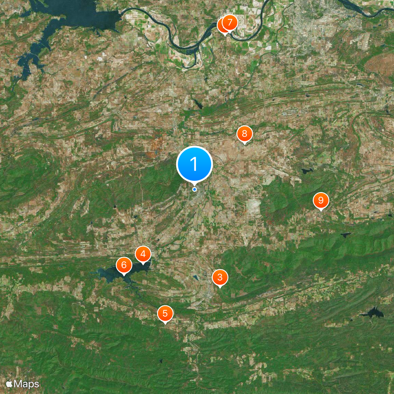
The city was founded in the late 1880s and developed as a railroad and trade center in the region. This heritage continues to shape its role today.
Visitors can find essential services and shops throughout the city to meet daily needs. The manageable size makes it easy to navigate on foot or by car.
The community of curious travelers
AroundUs brings together thousands of curated places, local tips, and hidden gems, enriched daily by 60,000 contributors worldwide.
Location
Inception
1885
Elevation above the sea
149 m
Website
GPS coordinates
35.05861,-94.63000
Latest update
December 20, 2025 14:03