LeFlore County, Administrative county in southeastern Oklahoma, United States
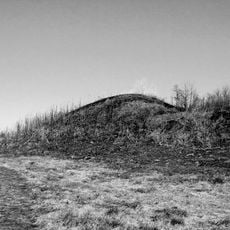
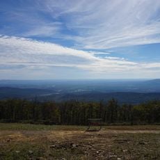
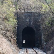
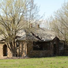
LeFlore County is an administrative area in southeastern Oklahoma with varied terrain and natural features. The region includes mountain ranges, river valleys, and forested areas that shape its landscape.
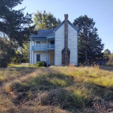
The county was established in 1907 and named after the influential LeFlore Choctaw family. This naming reflects the deep historical connections between the region and Native American leadership.
The area reflects its ties to the Choctaw people and their long presence in this region. Visitors can see how indigenous traditions continue to shape how locals relate to the land and its history.
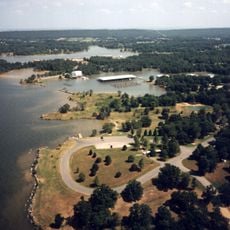
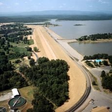
The county is accessible by car and offers gateway points to forests, river areas, and lakes. Visitors can find opportunities for hiking, fishing, and outdoor recreation throughout the region.
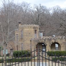
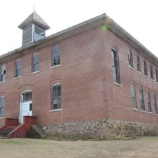
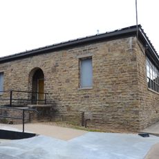
Archaeological sites preserve remains of ancient settlements dating back over a thousand years. These locations provide evidence of sophisticated societies that thrived here long before modern times.
Location: Oklahoma
Inception: July 16, 1907
Capital city: Poteau
Shares border with: Sequoyah County, Sebastian County, Scott County, Polk County, McCurtain County, Pushmataha County, Latimer County, Haskell County
GPS coordinates: 34.90000,-94.70000
Latest update: December 14, 2025 12:25
Spiro Mounds
47.4 km
Queen Wilhelmina State Park
38.6 km
Robert S. Kerr Reservoir
52 km
Lake Wister
5.1 km
Jenson Tunnel
42.4 km
Peter Conser House
6.8 km
Lake Wister State Park
6.8 km
W. D. Mayo Lock and Dam
48.1 km
James E. Reynolds House
30.3 km
Hartford Water Tower
32.6 km
C.E. Foster House
38.2 km
Jones Memorial Methodist Church
32.5 km
Trahern's Station
26.2 km
Terry House
18.3 km
LeFlore County Courthouse
18.5 km
Hackett Creek Bridge
41.7 kmSummerfield School
33.1 km
Kinta High School
54.2 km
Williams School
32.7 km
Tucker School
44.5 km
Skullyville County Jail
30.5 km
Coop Creek Bridge
45.8 km
Haskell County Courthouse
52.4 km
Sebastian County Road 4G Bridge
27.6 km
Bates School
29.1 km
Arkoma School
56.2 km
Hartford Commercial Historic District
32.2 km
Rich Mountain Lookout Tower
42.2 kmVisited this place? Tap the stars to rate it and share your experience / photos with the community! Try now! You can cancel it anytime.
Discover hidden gems everywhere you go!
From secret cafés to breathtaking viewpoints, skip the crowded tourist spots and find places that match your style. Our app makes it easy with voice search, smart filtering, route optimization, and insider tips from travelers worldwide. Download now for the complete mobile experience.
A unique approach to discovering new places❞
— Le Figaro
All the places worth exploring❞
— France Info
A tailor-made excursion in just a few clicks❞
— 20 Minutes