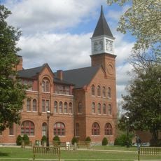
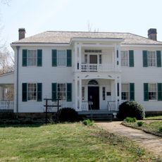
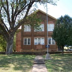
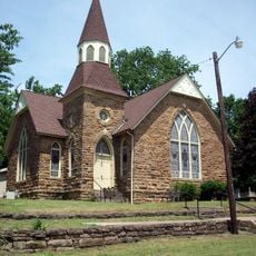
Adair County, County in northeastern Oklahoma, United States
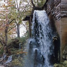
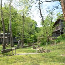
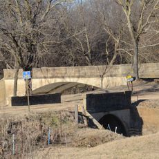
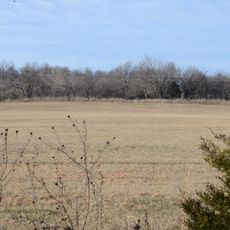
Adair County spreads across tree-covered foothills of the Boston Mountains within the Ozark Plateau in northeastern Oklahoma. The landscape is shaped by the Illinois River and Barren Fork Creek, which flow through the region and support local communities.
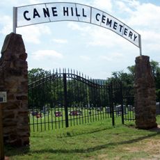
The Cherokee Nation moved into this region starting in 1828 and became the primary influence on its development. Additional Cherokee settlers from Georgia, Tennessee, and North Carolina arrived in subsequent years, shaping the area's character.
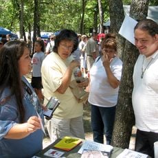
The annual Stilwell Strawberry Festival celebrates local farming traditions and brings the community together each year. The event reflects the area's connection to strawberry cultivation and remains central to how residents define their region.
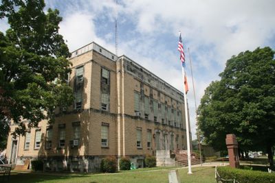
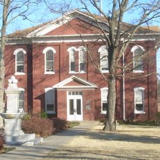
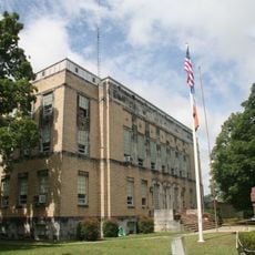
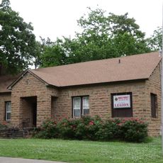
County government services are based in Stilwell, making it the main point of contact for administrative matters. The region provides good access to waterways and natural areas suitable for outdoor activities.
The county's name traces back to influential families in the early Cherokee settlement who shaped the community's foundations. This connection to settlement history is often overlooked by visitors exploring the region.
Location: Oklahoma
Inception: July 16, 1907
Capital city: Stilwell
Shares border with: Delaware County, Sequoyah County, Cherokee County, Benton County, Washington County, Crawford County
GPS coordinates: 35.88000,-94.66000
Latest update: December 14, 2025 20:25
Cherokee National Capitol
28.2 km
Cherokee Heritage Center
26.7 km
Cherokee National Holiday
28.2 km
Cherokee Female Seminary
28.3 km
Murrell Home
27.1 km
Doc Wadley Stadium
28.3 km
Cane Hill College
23.9 km
Golda's Mill
9.7 km
Gypsy Camp Historic District
28.1 km
Adair County Courthouse
7.9 km
Twin Bridges Historic District
18.6 km
Earle House
24 km
Norwood School
31.7 km
American Legion Hut
28 kmOpera Block
15.1 km
Cane Hill Battlefield
26 km
Cane Hill Cemetery
23.8 km
Willis Noll House
28.6 km
Blackburn House
24 km
D.N. Edmiston House
24.1 km
John Edmiston House
24.1 km
John Tilley House
27.7 km
Evansville-Dutch Mills Road Bridge
14.6 km
United Presbyterian Church of Canehill
24 km
Zeb Edmiston House
24 km
Rennic Road Bridge
27 km
Methodist Manse
23.9 km
Hunter's Home
27.1 kmVisited this place? Tap the stars to rate it and share your experience / photos with the community! Try now! You can cancel it anytime.
Discover hidden gems everywhere you go!
From secret cafés to breathtaking viewpoints, skip the crowded tourist spots and find places that match your style. Our app makes it easy with voice search, smart filtering, route optimization, and insider tips from travelers worldwide. Download now for the complete mobile experience.
A unique approach to discovering new places❞
— Le Figaro
All the places worth exploring❞
— France Info
A tailor-made excursion in just a few clicks❞
— 20 Minutes