Enable Location

We need your location to show you interesting places around you

Discover nearby places

Find interesting locations and hidden gems around you

Precise directions

Get accurate directions and distances to places

Your location is never shared with other users. It's only used when you tap the location button.

Wagoner

Log in to your account

Start exploring — it's free

Trusted by 63,969 travelers worldwide

Continue with Google
Continue with Apple
or

We will send you a code to connect

By continuing, you accept our Terms and Conditions and our Privacy Policy

Check your inbox

We've sent a pincode in your inbox. Please enter the code below.

Discussion Reviews 1 Photos
16.6k Popularity

Wagoner, city in Oklahoma, United States of America

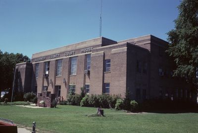
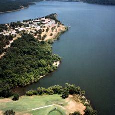
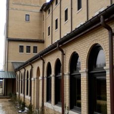
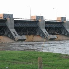
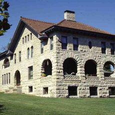
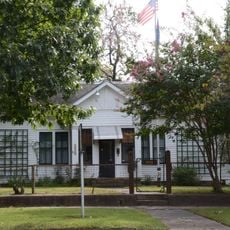
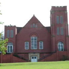
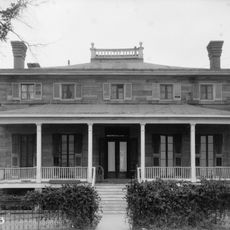
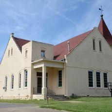
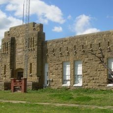
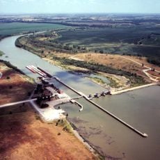
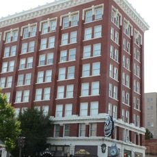
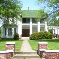
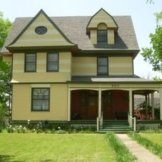
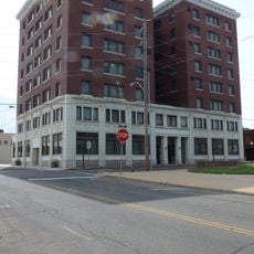
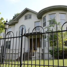
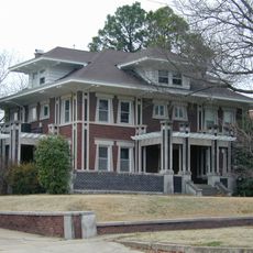
Wagoner is a small city in Oklahoma located in Wagoner County near Fort Gibson Lake and other waterways. The downtown area features historic buildings like one built in 1895, local shops, and places to visit, while forests and lakes surround the community.

The city grew from a small settlement into an established community, with the early settler stories now displayed in the local museum. Highway 69 running through town was once part of the famous Jefferson Highway, a route that connected cities from New Orleans to Canada.

The name comes from the city's early settlers. Residents gather throughout the year for events like the Bluegrass and Chili Festival and Summerfest, where live music and food celebrations bring people together. These gatherings reveal how much the community values connection and shared traditions.

Walking or driving through the streets to explore works well for visitors, as most attractions like Fort Gibson Lake and parks are easy to reach with parking available. Spring and fall offer pleasant weather for outdoor activities and visiting downtown sites.

The Indian Lodge features an eye-catching neon sign and retro style that recalls earlier times, making it a popular photo spot. This small 25-unit lodge preserves a piece of roadside nostalgia and offers visitors a glimpse of authentic American motor lodge design.

The community of curious travelers

AroundUs brings together thousands of curated places, local tips, and hidden gems, enriched daily by 60,000 contributors worldwide.

Start exploring
Location
Elevation above the sea
180 m
GPS coordinates
35.95556,-95.37806
Latest update
February 17, 2026 02:00
Around this place
USS Batfish
United States of America

USS Batfish

18.9 km
Fort Gibson
United States of America

Fort Gibson

20.1 km
Sequoyah State Park
United States of America

Sequoyah State Park

12.2 km
Monastery of Our Lady of the Annunciation of Clear Creek
United States of America

Monastery of Our Lady of the Annunciation of Clear Creek

18.6 km
Fort Gibson Dam
United States of America

Fort Gibson Dam

16.4 km
Fort Gibson National Cemetery
United States of America

Fort Gibson National Cemetery

21.6 km
Five Civilized Tribes Museum
United States of America

Five Civilized Tribes Museum

21.6 km
Manhattan Building
United States of America

Manhattan Building

23 km
Chouteau Lock & Dam
United States of America

Chouteau Lock & Dam

10.8 km
A.W. Patterson House
United States of America

A.W. Patterson House

22.5 km
Grant Foreman House
United States of America

Grant Foreman House

22.5 km
First Baptist Church
United States of America

First Baptist Church

22.6 km
Commandant's Quarters
United States of America

Commandant's Quarters

19.9 km
Ward Chapel AME Church
United States of America

Ward Chapel AME Church

22.4 km
Wagoner Armory
United States of America

Wagoner Armory

818 m
Newt Graham Lock & Dam
United States of America

Newt Graham Lock & Dam

18.4 km
Surety Building
United States of America

Surety Building

23 km
Frederick Parkinson House
United States of America

Frederick Parkinson House

976 m
John W. Gibson House
United States of America

John W. Gibson House

1 km
Railway Exchange Building
United States of America

Railway Exchange Building

22.9 km
St. James Episcopal Church
United States of America

St. James Episcopal Church

506 m
A. C. Trumbo House
United States of America

A. C. Trumbo House

22.5 km
V. R. Coss House
United States of America

V. R. Coss House

22.6 km
Ed Edmondson United States Courthouse
United States of America

Ed Edmondson United States Courthouse

22.9 km
Central Baptist Church
United States of America

Central Baptist Church

22.5 km
United States of America

Hotel Muskogee

23.1 km
Collin McKinney House
United States of America

Collin McKinney House

1.5 km
Lost City
United States of America

Lost City

21.6 km
Show the full map
Reviews
Share your experience

No review yet

Discussions
Start a discussion...

No discussion yet

« Wagoner - city in Oklahoma, United States of America » is provided by Around Us (aroundus.com). Images and texts are derived from Wikimedia project under a Creative Commons license. You are allowed to copy, distribute, and modify copies of this page, under the conditions set by the license, as long as this note is clearly visible.

Discover hidden gems everywhere you go!

From secret cafés to breathtaking viewpoints, skip the crowded tourist spots and find places that match your style. Our app makes it easy with voice search, smart filtering, route optimization, and insider tips from travelers worldwide. Download now for the complete mobile experience.

Around Us App Screenshot

A unique approach to discovering new places

Le Figaro

All the places worth exploring

France Info

A tailor-made excursion in just a few clicks

20 Minutes

Around Us
Travel Guide & Maps
Download

Send to your phone

QR Code
1

Open the camera app on your mobile.

2

Point at the QR code with your camera. A notification will appear.

3

Tap the notification to open the link.