Marion County, County division in Kansas, United States.
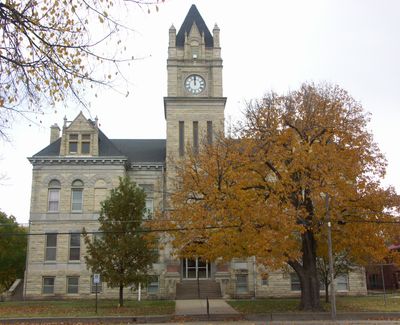
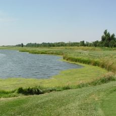
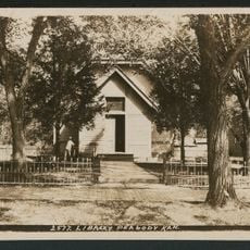
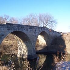
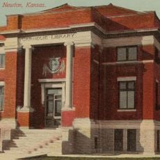
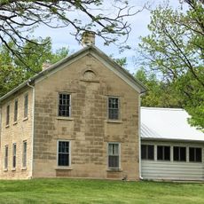
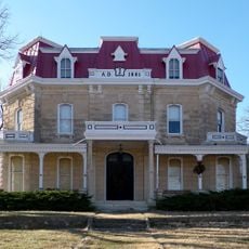
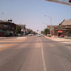
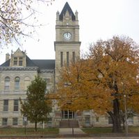
Marion County is an administrative division in central Kansas that covers rural farmland, small towns, and prairie terrain. The county seat of Marion serves as the center for local government and community services.
The county was officially established in 1855 during Kansas's territorial period and became part of the earliest organized local administration in the region. Its name honors a general from the American Revolutionary War era.
The county's name honors Francis Marion, a Revolutionary War general known as the Swamp Fox, reflecting American patriotic naming traditions from that era.
The county administration office in Marion handles vehicle registration, property taxes, and permits for local residents. Most government services can be found downtown during regular business hours.
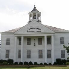
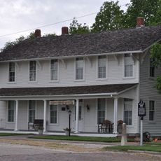
Many visitors overlook that this area has roots in multi-generational family farming that shaped the character of the region over time. The agricultural heritage remains visible in how the land is organized and how communities interact today.
The community of curious travelers
AroundUs brings together thousands of curated places, local tips, and hidden gems, enriched daily by 60,000 contributors worldwide.