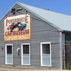
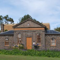
Mount Gambier, city in South Australia
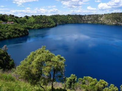
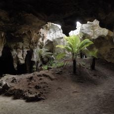
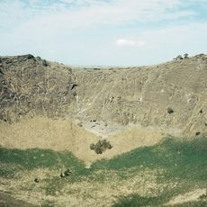
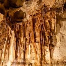
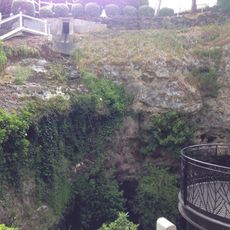
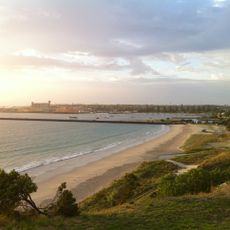
Mount Gambier is a city in South Australia situated in an area with volcanoes, caves, and sinkholes. It is defined by the Blue Lake, a large body of water in an old volcanic crater, and underground caves like Engelbrecht Caves that visitors can explore on foot.
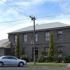
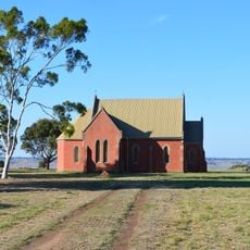
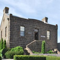
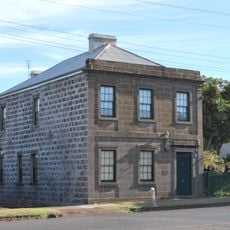
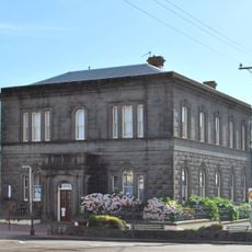
The city was founded by European explorers arriving in 1800 who settled on this volcanic plateau. This early settlement developed into a town that has maintained its rural roots in agriculture and exploration.
The name Mount Gambier refers to the volcanic cone that defines the city. The community values its natural setting and residents enjoy sharing stories about the area's geological features with visitors.
You can reach the city easily by flying from Adelaide or Melbourne. It serves as a good base for hiking and exploring natural attractions, with affordable lodging available and free bicycle rentals at visitor centers.
During late autumn and early winter, glow-in-the-dark mushrooms grow in the pine forests surrounding the city and are visible at night. These rare bioluminescent fungi can be seen on special guided tours, with peak visibility in May and June.
The community of curious travelers
AroundUs brings together thousands of curated places, local tips, and hidden gems, enriched daily by 60,000 contributors worldwide.