
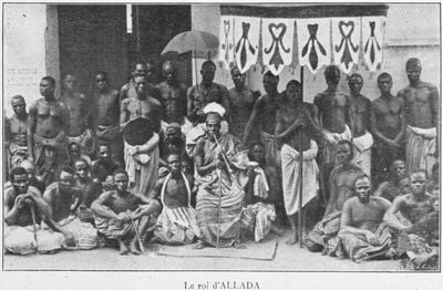
Allada, commune of Benin
Location: Atlantique Department
Elevation above the sea: 110 m
Website: http://web-africa.org/allada
GPS coordinates: 6.66500,2.15222
Latest update: March 5, 2025 10:59
Door of No Return
38.6 km
São João Baptista d’Ajudá
34.8 km
Temple des Pythons
34.8 km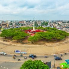
Place de l'Étoile rouge
43.4 km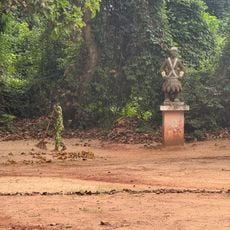
Forêt sacrée de Kpassè
34 km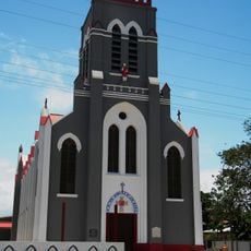
Basilique de l'Immaculée Conception
34.7 km
CanalOlympia Wologuèdé
43.3 km
Ouidah Museum of History
34.7 km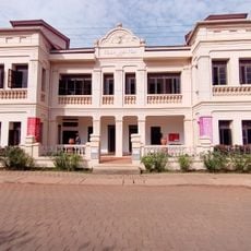
Museum of contemporary art in Ouidah
34.6 km
Villa Ajavon
34.6 km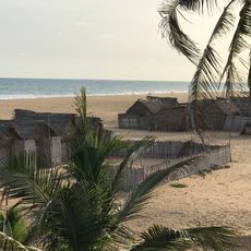
Fidjrossè Beach
41.8 km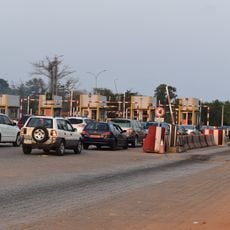
Poste de péage et de pesage d’Ahozon
33.1 km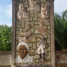
Memorial Zomachi
36.7 km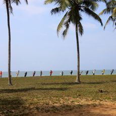
Route des peches
42.3 km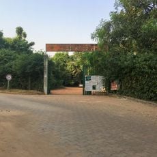
Herbier national du Bénin
34.9 km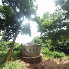
Sacred Forest
33.9 km
Statue Dadjè soka
41.2 km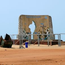
Mémorial du Grand Jubilé de l'an 2000
38.7 km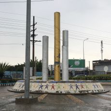
Jet d’eau d’Akossombo
41.4 km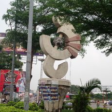
Synchronisation musique et sport
40 km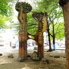
Femmes allant et revenant du marché
42.8 km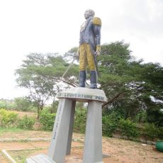
Place Toussaint Louverture
1.8 km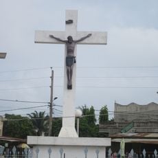
Calvaire de Fidjrossè
41.9 km
UAC Start-Up Valley
32.1 km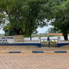
Cimetière militaire français de Ouidah
34.7 km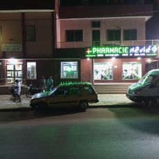
Pharmacie Hêvié
31.3 km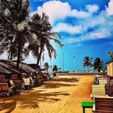
Fidjrosse Beach ️
40.4 km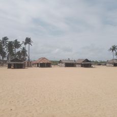
Route de la pêche
42 kmVisited this place? Tap the stars to rate it and share your experience / photos with the community! Try now! You can cancel it anytime.
Discover hidden gems everywhere you go!
From secret cafés to breathtaking viewpoints, skip the crowded tourist spots and find places that match your style. Our app makes it easy with voice search, smart filtering, route optimization, and insider tips from travelers worldwide. Download now for the complete mobile experience.

A unique approach to discovering new places❞
— Le Figaro
All the places worth exploring❞
— France Info
A tailor-made excursion in just a few clicks❞
— 20 Minutes