
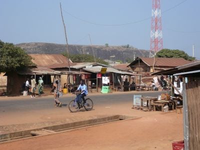
Bantè, commune of Benin
Location: Collines department
Elevation above the sea: 275 m
GPS coordinates: 8.41667,1.88333
Latest update: March 14, 2025 04:29

Royal Palaces of Abomey
137.5 km
Historical Museum of Abomey
137.5 km
Agongointo-Zoungoudo Underground Town
138.4 km
Kyabobo National Park
139.5 km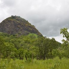
Fazao Mafakassa National Park
116.9 km
Nangbeto Dam
120.9 km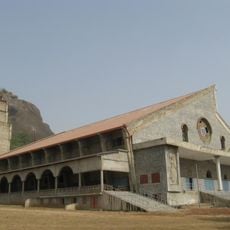
Grotte Notre-Dame d'Arigbo
78.8 km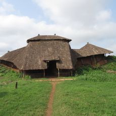
Akaba Idena
141.5 km
Musée en Plein Air de Parakou
129.8 km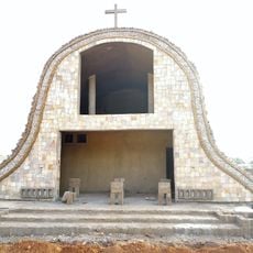
Sts. Peter and Paul Cathedral, Parakou
131.1 km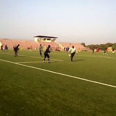
Stade Municipal de Parakou
131.5 km
Papatia Botanical Garden
110 km
Stade Municipal de Djougou
144.8 km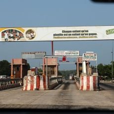
Poste de péage et de pesage de Diho
80.5 km
Stade Municipal de Bohicon
137.3 km
Lassa
139.3 km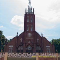
Saints Peter and Paul Cathedral of Abomey
138.4 km
Marché
139.4 km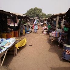
Marché de Kassoua
150.9 km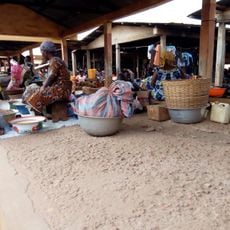
Marché De Covè
142.5 km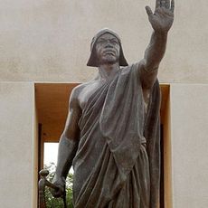
Béhanzin statue
137.9 km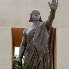
Place Goho
137.9 km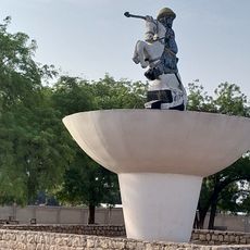
Place Bio Guéra
131.9 km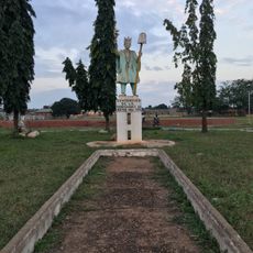
Place du centenaire de la renaissance de Kétou
142 km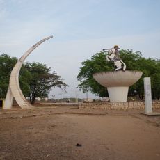
Rond point Hubert Maga
129.2 km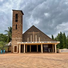
Église catholique de zangnanado
144.7 km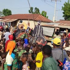
Marché de Partago
124.6 km
Donga Treasure
144.1 kmReviews
Visited this place? Tap the stars to rate it and share your experience / photos with the community! Try now! You can cancel it anytime.
Discover hidden gems everywhere you go!
From secret cafés to breathtaking viewpoints, skip the crowded tourist spots and find places that match your style. Our app makes it easy with voice search, smart filtering, route optimization, and insider tips from travelers worldwide. Download now for the complete mobile experience.

A unique approach to discovering new places❞
— Le Figaro
All the places worth exploring❞
— France Info
A tailor-made excursion in just a few clicks❞
— 20 Minutes