Paul, Concelho in Santo Antão island, Cape Verde
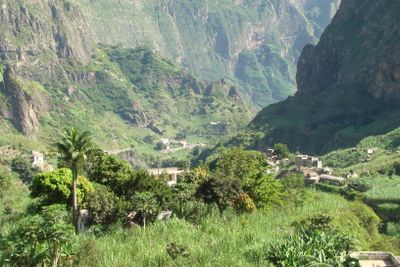
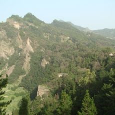
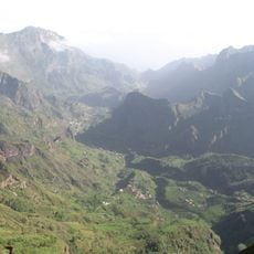
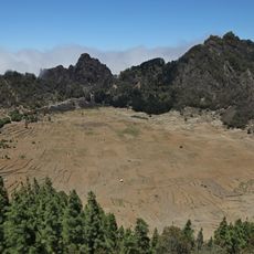
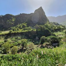
Paul is an administrative municipality on Santo Antão island located in the northeastern part, covering about 54 square kilometers of mountainous terrain. The area reaches a height of 945 meters and is crossed by several rivers, including the Ribeira do Paul.
The municipality was established in 1867 and experienced several changes over the following decades. It merged with Ribeira Grande in 1895 but separated again in 1917 and thereafter remained independent.
The local people grow sugarcane, vegetables, and fruits on steep hillsides using farming techniques passed down through generations. Visitors see these hand-built terraced fields everywhere, shaping both daily life and the land's appearance.
The town of Pombas serves as the administrative center and is connected to surrounding areas by roads EN1-SA02 and EN1-SA03. The mountainous terrain means paths involve steep climbs and travelers should allow time to explore the region properly.
The Cova-Paul-Ribeira da Torre Natural Park extends across the area and includes valleys shaped by six different rivers. This variety of waterways makes the region popular with hikers and nature enthusiasts.
The community of curious travelers
AroundUs brings together thousands of curated places, local tips, and hidden gems, enriched daily by 60,000 contributors worldwide.