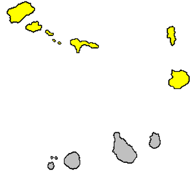
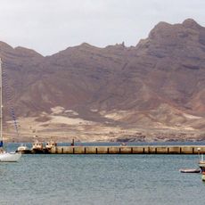
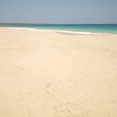
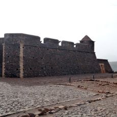
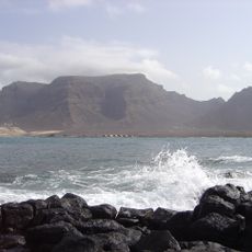
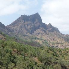
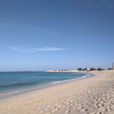
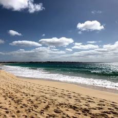
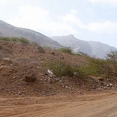
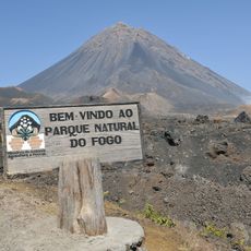
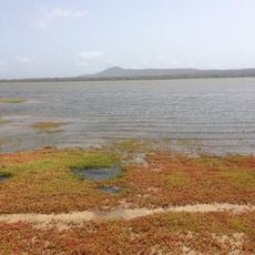
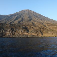
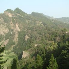
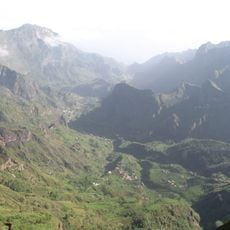
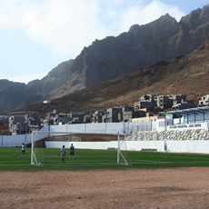
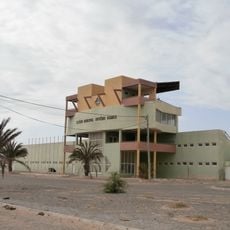
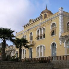
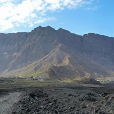
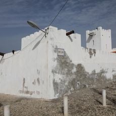
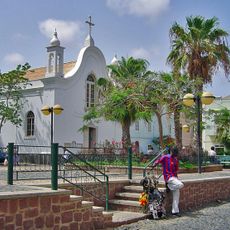
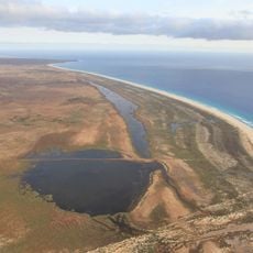
Barlavento Islands, northern island group of Cape Verde archipelago
Location: Cape Verde
Elevation above the sea
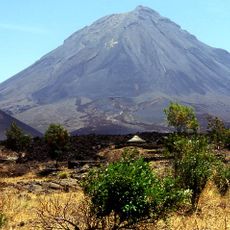
: 386 m
Part of: Cape Verde Islands
GPS coordinates: 17.00000,-24.00000
Latest update: March 13, 2025 15:45
Pico do Fogo
231.2 km
Buracona
109.7 km
Shark Bay
121.5 km
Monte Cara
111.3 km
Praia de Santa Mónica
168.8 km
Fort Real de São Filipe
235.7 km
Monte Verde, Cape Verde
100.5 km
Pico da Antónia
220.5 km
Praia da Chave
152.1 km
Santa Maria
124.3 km
Monte Gordo
56.6 km
Fogo National Park
230.6 km
Salinas of the English Port
221.6 km
Topo da Coroa
137.9 km
Pico da Cruz
110.4 km
Estádio Marcelo Leitão
116.3 km
Cova-Ribeira da Torre-Paul Natural Park
110.1 km
Cova
113.7 km
Monte Estância
170 km
Pachamama eco-cafe & park/Jardim Botânico Viveiro
122.7 km
Estádio João Serra
118.4 km
Jardim Botânico
221.3 km
Estadio Municipal Arsénio Ramos
147.9 km
Escola Jorge Barbosa
105.8 km
Bordeira (Fogo)
230.8 km
Forte de São José
224.1 km
Pro-Cathedral of Our Lady of the Light, Mindelo
106 km
Morro de Areia Nature Reserve
152.3 kmReviews
Visited this place? Tap the stars to rate it and share your experience / photos with the community! Try now! You can cancel it anytime.
Discover hidden gems everywhere you go!
From secret cafés to breathtaking viewpoints, skip the crowded tourist spots and find places that match your style. Our app makes it easy with voice search, smart filtering, route optimization, and insider tips from travelers worldwide. Download now for the complete mobile experience.
A unique approach to discovering new places❞
— Le Figaro
All the places worth exploring❞
— France Info
A tailor-made excursion in just a few clicks❞
— 20 Minutes