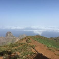
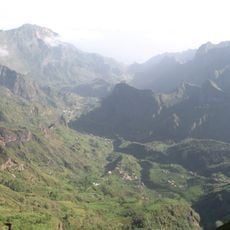
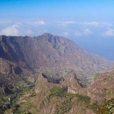
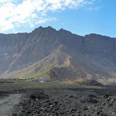
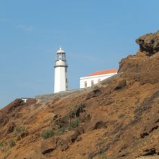
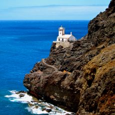
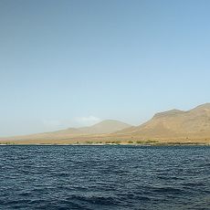
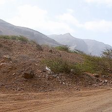
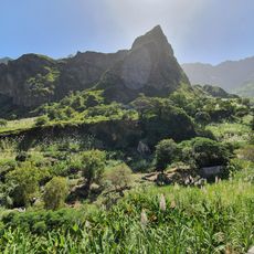
Topo da Coroa, Stratovolcano in Santo Antão, Cape Verde.
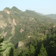
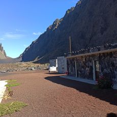
Topo da Coroa is a volcanic mountain in the western part of Santo Antão, Cape Verde, reaching 1,979 m, the island's highest point. It lies about 20 km west of Porto Novo and is the westernmost mountain of Africa. Its rock is relatively young, formed between 200,000 and 170,000 years ago, and several valleys cut its slopes, with the range running east, north and west. It is the source of streams such as Ribeira de Monte Trigo, which flows west to Monte Trigo.
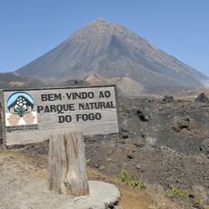
The volcanic rock of Topo da Coroa formed between 200,000 and 170,000 years ago. The mountain is the second-highest in Cape Verde and the westernmost in Africa. Its summit area is now part of a natural park covering 84.92 km², established to protect the island's endemic plants.
Local communities grow crops on the fertile volcanic soil surrounding the mountain, with agricultural methods that are rooted in the island's history. People have adapted to this terrain to support themselves and their families for many generations.
You will need a four-wheel drive vehicle to reach the starting point where the hike begins. The round trip takes about six hours and you should prepare for changing weather conditions along the way.
The natural park surrounding this mountain holds more than half of Cape Verde's flowering plant species found nowhere else on Earth. Among these is Periploca laevigata, a rare plant adapted to the volcanic soil and high altitude.
The community of curious travelers
AroundUs brings together thousands of curated places, local tips, and hidden gems, enriched daily by 92,829 contributors worldwide.