Fogo National Park, National park with active volcano in Fogo Island, Cape Verde.
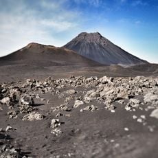
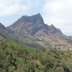
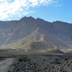
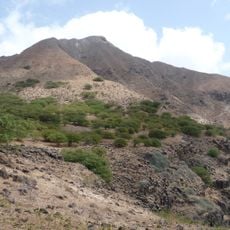
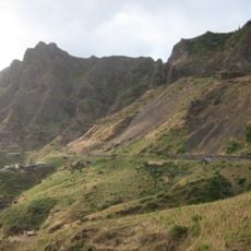
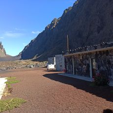
Fogo National Park sits on the island of the same name and is dominated by Pico do Fogo, an active volcano with black rock and rough terrain. The park spreads across mountainous volcanic land with walking trails, steep slopes, and areas where lava and ash deposits shape the landscape.
The park was created on 24 February 2003 by decree-law no. 3/2003, covering 84.69 km², or 17.8% of Fogo Island, across the municipalities of Santa Catarina do Fogo (50%), Mosteiros (28%) and São Filipe (22%). Pico do Fogo has erupted significantly five times in five centuries; the 2014-15 eruption reshaped the island. Grapes were once grown on the crater's inner slopes and subsistence farming was practised on the caldera floor.
About 1,010 people live in Chã das Caldeiras, the settlement inside the 9 km caldera, and work in farming, fishing and looking after visitors. Grapes were once grown on the inner slopes of the crater, and subsistence agriculture was practised on the caldera floor.
Hiking on volcanic terrain requires sturdy footwear because rocks are sharp-edged and paths are uneven. Bring plenty of water and protect yourself from intense sun, as black stone absorbs and radiates heat.
Cape Verde lies in the Atlantic, not Africa, so Pico do Fogo is not an African volcano. Its most recent eruption, in 2014-15, came after earlier major eruptions over five centuries. The caldera rim has a gap in its eastern side, and lava from that opening reached the coast.
The community of curious travelers
AroundUs brings together thousands of curated places, local tips, and hidden gems, enriched daily by 93,575 contributors worldwide.