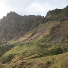
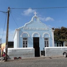
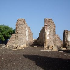
Pico da Antónia, Mountain summit in Santiago Island, Cape Verde.
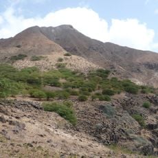
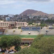
Pico da Antónia rises to 1,394 m (4,573 ft), the highest point of Santiago, in the island's central interior. It stands at the tripoint of São Salvador do Mundo, São Lourenço dos Órgãos and Ribeira Grande de Santiago, within the Parque Natural da Serra do Pico de Antónia. The towns of Picos and Assomada lie close by.
The Pico da Antónia volcanic formation was created between 3.3 and 2.3 million years ago, during the Piacenzian and Gelasian stages. The mountain lies at the tripoint of the municipalities of São Salvador do Mundo, São Lourenço dos Órgãos and Ribeira Grande de Santiago.
The summit is the tripoint of São Salvador do Mundo, São Lourenço dos Órgãos and Ribeira Grande de Santiago, so the municipal boundaries meet at the peak. The mountain gives its name to the surrounding Serra do Pico da Antónia, and the protected area around it is the Parque Natural da Serra do Pico de Antónia.
The hike to the summit takes several hours and requires sturdy footwear for the rocky terrain. Local guides are available and can provide helpful navigation through the paths to the peak.
The summit is the tripoint of three municipalities: São Salvador do Mundo, São Lourenço dos Órgãos and Ribeira Grande de Santiago. Just north of the peak rises the Ribeira de Pico da Antónia, a source stream of the Ribeira Seca.
The community of curious travelers
AroundUs brings together thousands of curated places, local tips, and hidden gems, enriched daily by 94,475 contributors worldwide.