Cape Verde, Island nation in North Atlantic Ocean, Cape Verde.
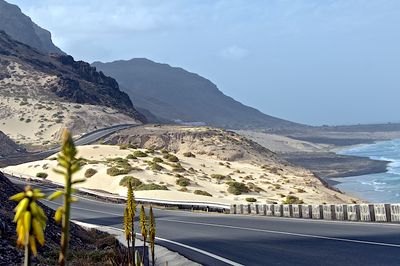
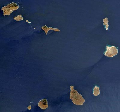
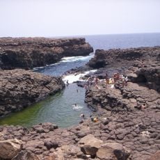
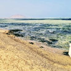
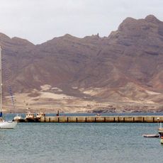
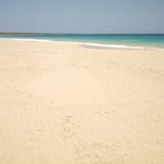
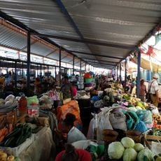
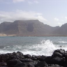
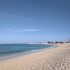
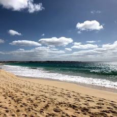
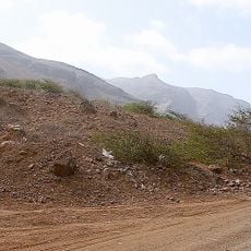
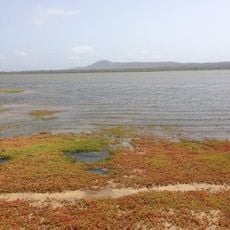
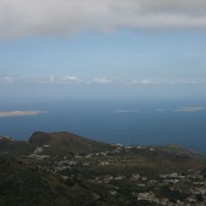
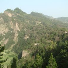
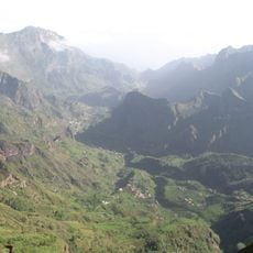
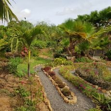
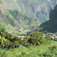
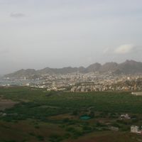
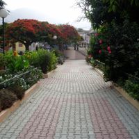
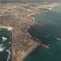
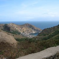
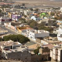
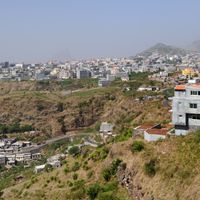
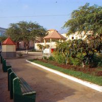
Cape Verde is an archipelago of ten volcanic islands in the North Atlantic, divided into the northern Barlavento and southern Sotavento groups across roughly four thousand square kilometers. Santo Antão shows mountainous terrain, while Sal and Boa Vista hold long sandy beaches and Santiago with capital Praia displays green valleys in its highland interior.
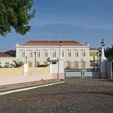
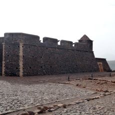
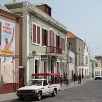
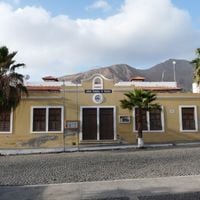
Portuguese navigators reached the uninhabited islands in 1456 and founded Ribeira Grande in 1462 as the first European tropical settlement. After independence from Portugal in 1975, a democratic republic developed with several peaceful government transitions since 1991.
Communities preserve Morna, a traditional music form blending melancholy melodies with poetic lyrics that gained international recognition through singer Cesária Évora. Festivals such as Carnival on São Vicente showcase African and Portuguese rhythms through colorful street parades.
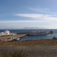
The international airport on Sal receives direct flights from Europe and Africa, while smaller airports connect other islands. Temperatures stay between 20 and 25 degrees Celsius throughout the year, with the dry season running from November to June.
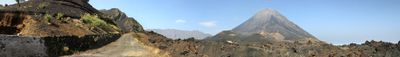
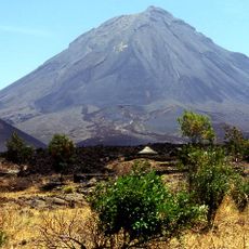
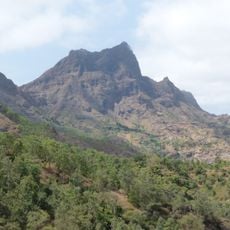
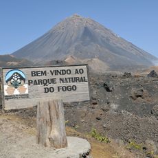
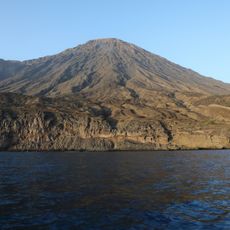
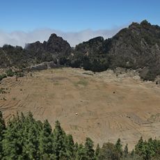
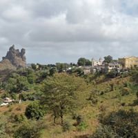
Pico do Fogo reaches 2829 meters as an active volcano on the island of the same name, with its most recent eruption in 2014. Wine cultivation thrives in fertile volcanic ash within the caldera, where farmers grow native grape varieties for local wines.
The community of curious travelers
AroundUs brings together thousands of curated places, local tips, and hidden gems, enriched daily by 60,000 contributors worldwide.