·

Enable Location

We need your location to show you interesting places around you

Discover nearby places

Find interesting locations and hidden gems around you

Precise directions

Get accurate directions and distances to places

Your location is never shared with other users. It's only used when you tap the location button.

Log in to your account

Start exploring — it's free

Trusted by 62,634 travelers worldwide

Continue with Google
Continue with Apple
or

We will send you a code to connect

By continuing, you accept our Terms and Conditions and our Privacy Policy

Check your inbox

We've sent a pincode in your inbox. Please enter the code below.

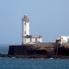
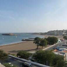
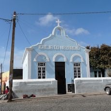
Santa Catarina do Fogo, Municipality in Sotavento Islands, Cape Verde.

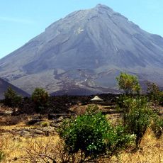
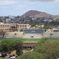
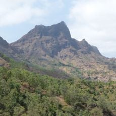
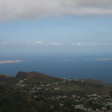
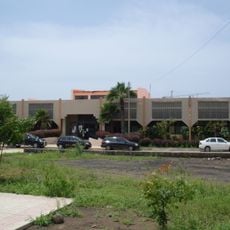
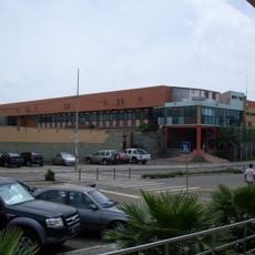
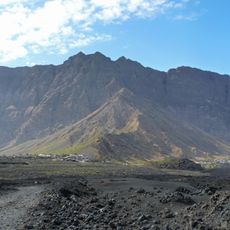
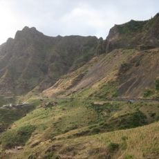
Santa Catarina do Fogo occupies the southeastern portion of Fogo Island, covering an area of 152 square kilometers with elevations reaching 1,341 meters above sea level. Cova Figueira functions as its administrative center, managing municipal services and regional governance.

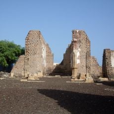
Once a parish governed by São Filipe, this region became an independent administrative division in 2005. This reorganization fundamentally changed how local governance and community management operate.

Strong bonds link this municipality to Cape Verdean communities in Scituate, Massachusetts, fostered through educational programs and cultural exchanges between residents. These connections shape how people here see themselves and their place in the broader Cape Verdean world.

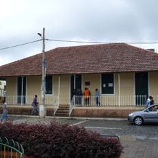
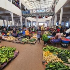
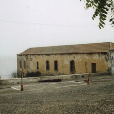
Administrative services and local information are available in Cova Figueira, the administrative center of the municipality. Planning your visit during the drier months makes exploring the area more convenient and comfortable.

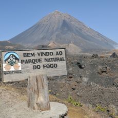
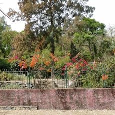
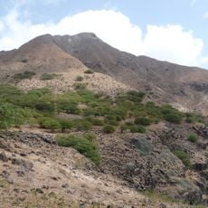
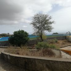
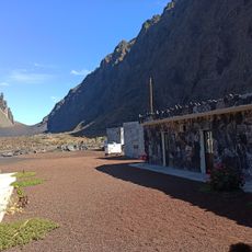
A portion of Fogo Natural Park extends into this municipality, containing sections of an active volcanic crater and Pico do Fogo. This volcanic landscape shapes the terrain and makes the region geologically remarkable.

The community of curious travelers

AroundUs brings together thousands of curated places, local tips, and hidden gems, enriched daily by 60,000 contributors worldwide.

Start exploring
Capital city
Cova Figueira
Elevation above the sea
1,341 m
Shares border with
São Filipe, Mosteiros
GPS coordinates
14.88990,-24.29396
Latest update
December 13, 2025 12:23
« Santa Catarina do Fogo - Municipality in Sotavento Islands, Cape Verde » is provided by Around Us (aroundus.com). Images and texts are derived from Wikimedia project under a Creative Commons license. You are allowed to copy, distribute, and modify copies of this page, under the conditions set by the license, as long as this note is clearly visible.

Discover hidden gems everywhere you go!

From secret cafés to breathtaking viewpoints, skip the crowded tourist spots and find places that match your style. Our app makes it easy with voice search, smart filtering, route optimization, and insider tips from travelers worldwide. Download now for the complete mobile experience.

Around Us App Screenshot

A unique approach to discovering new places

Le Figaro

All the places worth exploring

France Info

A tailor-made excursion in just a few clicks

20 Minutes

Around Us
Travel Guide & Maps
Download

Send to your phone

QR Code
1

Open the camera app on your mobile.

2

Point at the QR code with your camera. A notification will appear.

3

Tap the notification to open the link.