Mosteiros, Municipality on Fogo Island, Cape Verde.
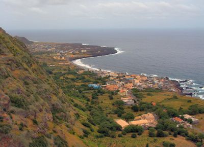
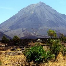
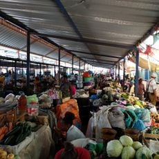
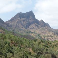
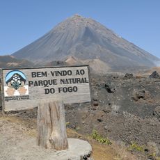
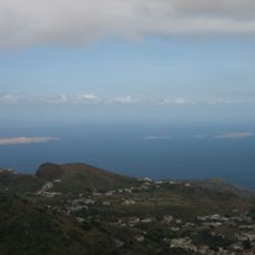
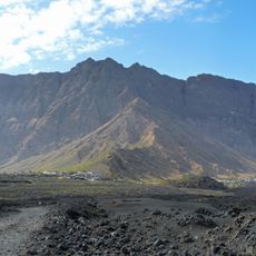
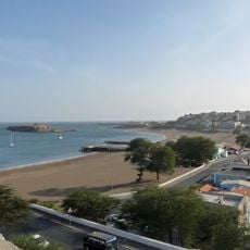
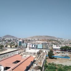
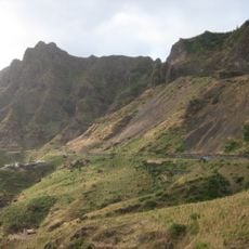
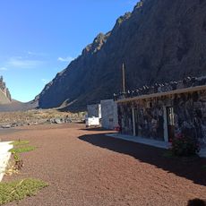
Mosteiros is an administrative area on the northeastern side of Fogo Island, located between the Atlantic Ocean and the slopes of Pico do Fogo volcano. The territory includes several settlements such as Achada Grande, Atalaia, and Corvo that are connected by local bus routes.
The area became a separate administrative entity in 1992 when the former Municipality of Fogo split into two distinct territories. This division created the current structure with this jurisdiction in the north and another in the south of the island.
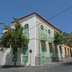
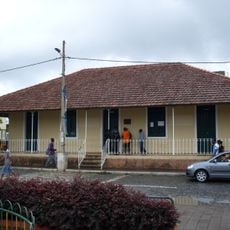
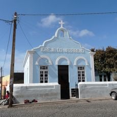
The church Nossa Senhora da Ajuda serves as the heart of community life, where residents gather on August 15 for local celebrations that bring together people from all settlements. These gatherings reflect how the population maintains shared traditions and social bonds across the different parts of this territory.
The settlements are best reached by shared minibus services that run regularly between the local areas and south to São Filipe. Visitors should expect the terrain to be shaped by volcanic geology and to experience significant elevation changes in some parts.
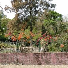
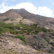
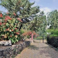
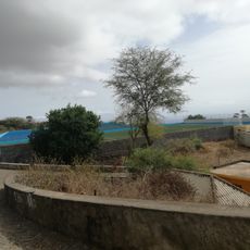
Coffee plants grow at moderate elevations in the volcanic soil, a feature that few visitors know about. This cultivation method in the mountainous terrain is characteristic of local farming and gives the area its distinctive agricultural identity.
The community of curious travelers
AroundUs brings together thousands of curated places, local tips, and hidden gems, enriched daily by 60,000 contributors worldwide.