Santa Catarina, Administrative territory in Santiago Island, Cape Verde
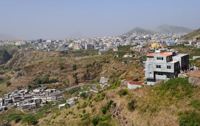
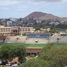
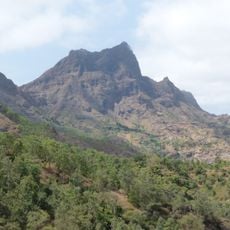
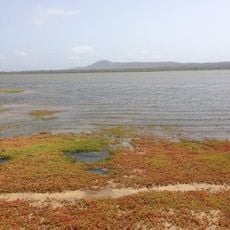
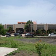
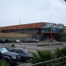
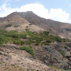
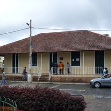
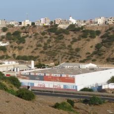
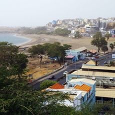
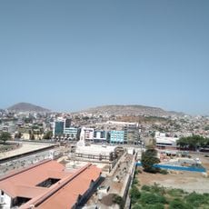
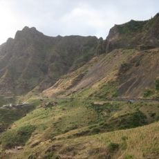
Santa Catarina is a municipality on the western side of Santiago Island, in the Sotavento Islands of Cape Verde, covering a mix of mountain terrain, valleys, and farming land. Its main town, Assomada, sits inland and serves as the principal center for trade and local administration.
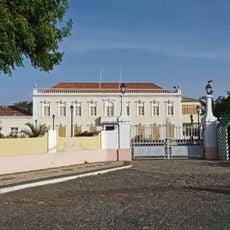
The municipality was established during the colonial period and went through several administrative changes in the centuries that followed. In the early 2000s, a boundary adjustment restored its earlier configuration after a period of reorganization in 1971.
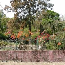
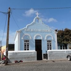
The name comes from Saint Catherine, and each year local festivals bring people together around music, dance, and traditional food. These gatherings are a good moment to observe how community life is organized and what matters to the people who live here.
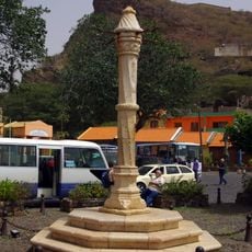
Assomada is regularly connected to other towns on Santiago Island by bus, making it easy to get around the municipality. Roads in rural and mountainous areas can be rough, so plan extra time when heading away from the main town.
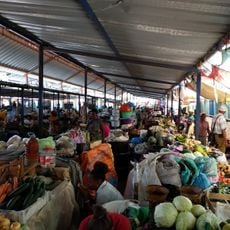
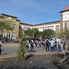
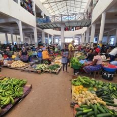
The market in Assomada is considered the largest agricultural market in the country, where farmers from across Santiago Island come to sell their produce. Arriving early in the morning gives the best sense of how trade works here and how central farming is to everyday life on the island.
The community of curious travelers
AroundUs brings together thousands of curated places, local tips, and hidden gems, enriched daily by 60,000 contributors worldwide.