São Lourenço dos Órgãos

Log in to your account

AroundUs is a community-driven map of interesting places, built by curious explorers like you. It grows with every review, story, and photo you share.
Connect to save your favorite spots, contribute locations, and create personalized routes.
Continue with Google
Continue with Apple
Continue with X
Continue with Facebook
Continue with email
By continuing, you accept our Terms and Conditions and our Privacy Policy
Create an account
Add to collection
Map
Suggest a change
Share

São Lourenço dos Órgãos, Municipality in Santiago Island, Cape Verde

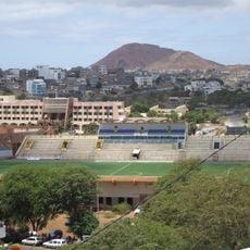
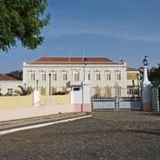
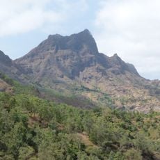
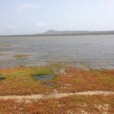
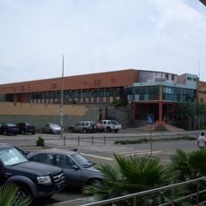
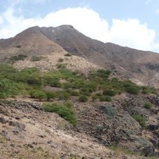
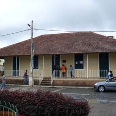
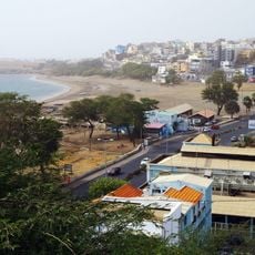
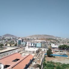
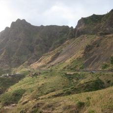
Sao Lourenco dos Orgaos is a municipality on Santiago Island that covers varied terrain ranging from lowlands to higher elevations. The main administrative hub is situated in a village at a mid-altitude location that serves as the central point for the scattered communities across the territory.

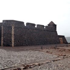
The municipality was established as an independent administrative unit in 2005 after separating from a neighboring territorial division. This change reshaped how the island's governance was organized.

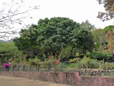
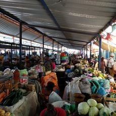
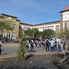
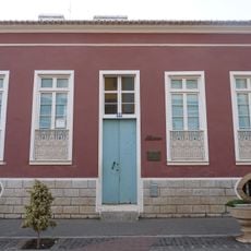
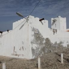
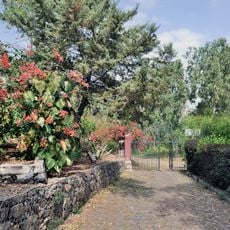
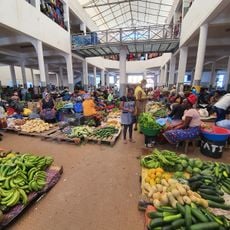
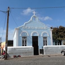
The community here maintains traditional ways of working with local materials and gathers for celebrations that mark the seasons and honor their patron saint. These gatherings show how daily life is woven into the landscape and heritage of the island.

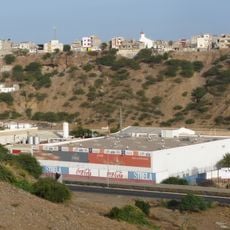
The area is best explored on foot or by local transport, as routes wind through hilly terrain and connect scattered communities. Visitors should be prepared for changing conditions at different elevations throughout the territory.

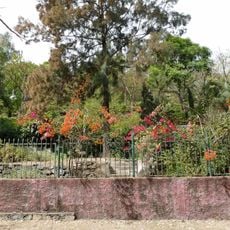
The territory includes several distinct parishes spread across different elevations, creating a patchwork of different landscape types and settlement patterns within one administrative area. This varied geography makes it one of few places on the island where so many different environmental zones exist together.

Location: Sotavento Islands

Capital city: João Teves

Elevation above the sea: 300 m

Shares border with: São Salvador do Mundo, Santa Cruz, São Domingos, Ribeira Grande de Santiago

Website: http://cmslo.org/cms

GPS coordinates: 15.06667,-23.60000

Latest update: December 12, 2025 17:43

Photos
Reviews

Visited this place? Tap the stars to rate it and share your experience / photos with the community! Try now! You can cancel it anytime.

Administrative divisions
« São Lourenço dos Órgãos - Municipality in Santiago Island, Cape Verde » is provided by Around Us (aroundus.com). Images and texts are derived from Wikimedia project under a Creative Commons license. You are allowed to copy, distribute, and modify copies of this page, under the conditions set by the license, as long as this note is clearly visible.

Discover hidden gems everywhere you go!

From secret cafés to breathtaking viewpoints, skip the crowded tourist spots and find places that match your style. Our app makes it easy with voice search, smart filtering, route optimization, and insider tips from travelers worldwide. Download now for the complete mobile experience.

Around Us App Screenshot

A unique approach to discovering new places

Le Figaro

All the places worth exploring

France Info

A tailor-made excursion in just a few clicks

20 Minutes