Brava, Administrative municipality in Brava Island, Cape Verde.
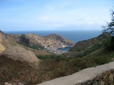
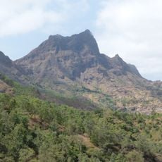
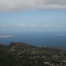
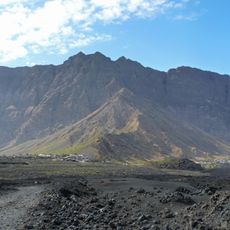
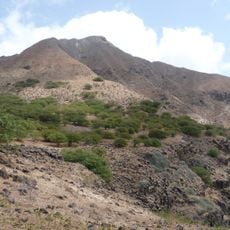
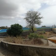
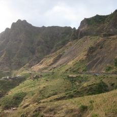
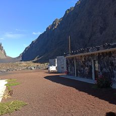
Brava is the smallest inhabited island in Cape Verde, characterized by steep rocky coastlines and mountainous terrain that rises to its highest point at Monte Fontainhas. The landscape features a compact but varied topography with elevated regions throughout the island.
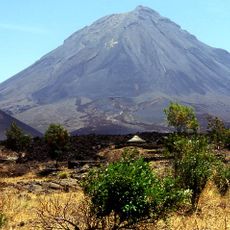
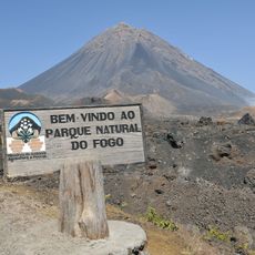
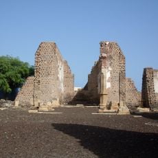
The island was discovered in 1462 by Portuguese explorer Diogo Afonso and experienced significant population growth after the 1680 volcanic eruption on neighboring Fogo island. This event prompted relocation of residents and influenced the settlement pattern that developed here.
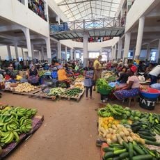
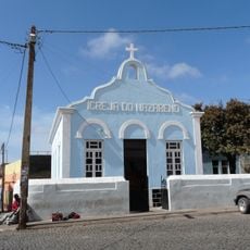
The island holds deep significance in local life and serves as a gathering place for community events and celebrations. Traditional festivities honor Saint John on June 24, drawing residents from both parishes to mark the occasion together.
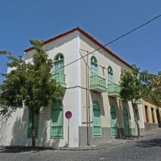
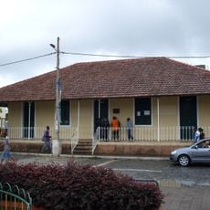
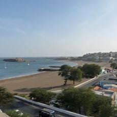
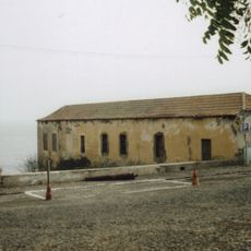
Plan your visit during the drier months when weather conditions are more stable and travel connections are more reliable. Nova Sintra serves as the main administrative center and is a good base for exploring the island.
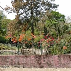
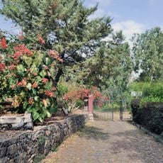
The island is frequently shrouded in dense mist and clouds, creating a humid microclimate that is rare within this island group. These conditions support a diverse plant life that stands out noticeably compared to its drier neighboring islands.
The community of curious travelers
AroundUs brings together thousands of curated places, local tips, and hidden gems, enriched daily by 60,000 contributors worldwide.