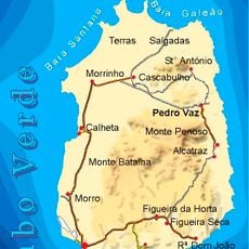
Maio, Administrative division in Sotavento Islands, Cape Verde
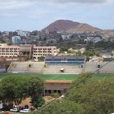
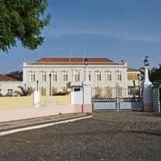
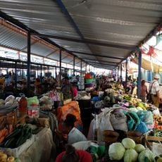
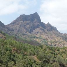
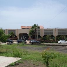
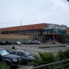
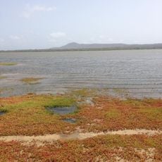
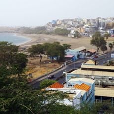
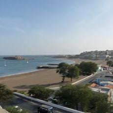
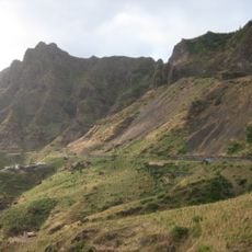
Maio is a municipality in the Sotavento Islands, located on flat, dry terrain with Porto Inglês serving as the administrative center. The island is characterized by salt plains in the north and a natural lagoon formation in the southeast.
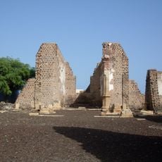
Salt extraction began in the 17th century, attracting English merchants who exported the product to Europe and drove population growth on the island. This trade activity shaped the municipality's economic structure for generations.
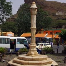
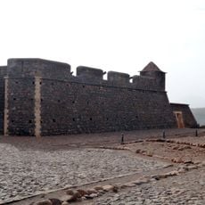
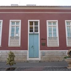
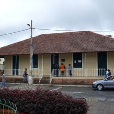
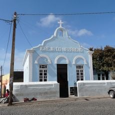
The municipality is named after a Portuguese saint and reflects strong Catholic traditions visible in local festivals and religious sites throughout the island. These spiritual practices continue to shape the everyday rhythm of community life.
The best time to visit is during the dry season when conditions are more pleasant and the island's natural features are more visible. It is advisable to bring plenty of water and sun protection, as the area is exposed with little shade.
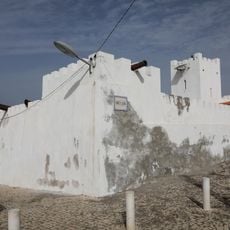
The Terras Salgadas in the north form an extensive salt plain that has been used for salt production for centuries and continues to shape the landscape. This natural salt reservoir stands as a rare testament to this historical economic activity on the island.
Location: Sotavento Islands
Capital city: Porto Inglês
Elevation above the sea: 82 m
Website: http://gov.cv/cmmaio
GPS coordinates: 15.14000,-23.22000
Latest update: December 14, 2025 18:08
Estádio da Várzea
40.1 km
Palácio Presidencial
39.8 km
Pelourinho
48.4 km
Mercado de Sucupira
39.4 km
Fort Real de São Filipe
48 km
Monumento de Diogo Gomes
39.9 km
Pico da Antónia
45.7 km
Salinas of the English Port
1.6 km
Liceu Domingos Ramos
39.1 km
National Library of Cape Verde
40.1 km
Farol de D. Maria Pia
41 km
Gimnodesportivo Vava Duarte
40.4 km
Jardim Botânico
42.5 km
Museu Etnográfico da Praia
39.3 km
Forte de São José
928 m
Terras Salgadas
17.2 km
Museu da Tabanka
48.3 km
Monte Batalhas
7.8 km
National Botanical Garden of Grandvaux Barbosa
42.4 km
Avenida Charles Darwin
39.2 km
Avenida Combatentes da Liberdade da Patria
39.4 km
Rampa São Januário
39.9 km
Rua Patrice Lumumba
39.7 km
Palacio da Cultura Ildo Lobo
39.7 km
Assomada market
48.3 km
Serra Malagueta Natural Park
50 km
Igreja do Nazareno, Assomada
48.4 km
Sé Catedral (Cidade Velha)
48.4 kmVisited this place? Tap the stars to rate it and share your experience / photos with the community! Try now! You can cancel it anytime.
Discover hidden gems everywhere you go!
From secret cafés to breathtaking viewpoints, skip the crowded tourist spots and find places that match your style. Our app makes it easy with voice search, smart filtering, route optimization, and insider tips from travelers worldwide. Download now for the complete mobile experience.
A unique approach to discovering new places❞
— Le Figaro
All the places worth exploring❞
— France Info
A tailor-made excursion in just a few clicks❞
— 20 Minutes