São Filipe

Log in to your account

AroundUs is a community-driven map of interesting places, built by curious explorers like you. It grows with every review, story, and photo you share.
Connect to save your favorite spots, contribute locations, and create personalized routes.
Continue with Google
Continue with Apple
Continue with X
Continue with Facebook
Continue with email
By continuing, you accept our Terms and Conditions and our Privacy Policy
Create an account
Add to collection
Map
Suggest a change
Share

São Filipe, Administrative capital in Fogo Island, Cape Verde

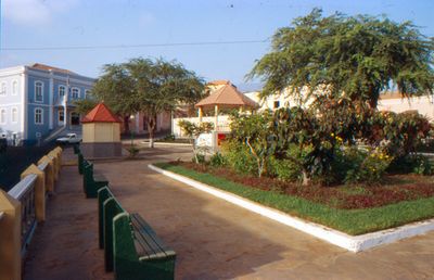
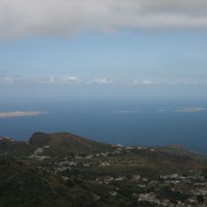
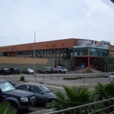
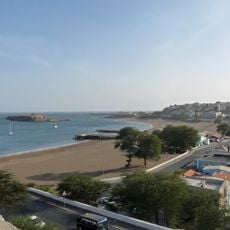
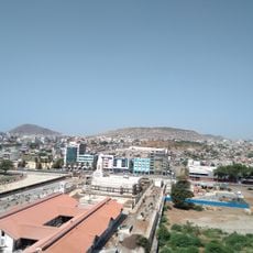
São Filipe is a town on the western side of Fogo Island in the Sotavento archipelago, with black sand beaches directly below its center. The settlement spreads across hilly terrain, connecting a dense historic core with newer residential areas.

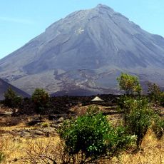
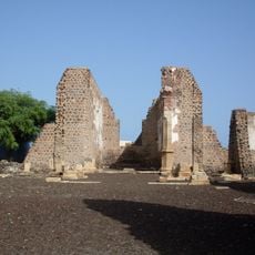
The town was founded during the colonial period and struggled economically after a 17th century pirate attack severely disrupted life. Over centuries, local production gradually shifted from cotton to wine and coffee, bringing economic recovery and sustainability.

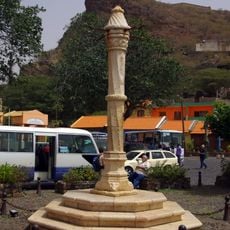
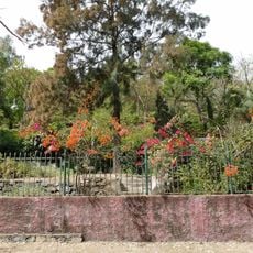
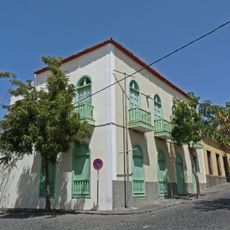
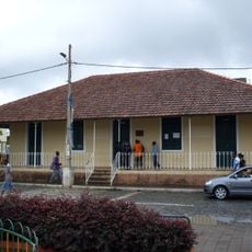
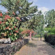
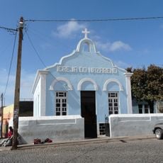
The historic center Bila Baxo features homes with carved wooden balconies and the Nossa Senhora da Conceição church, reflecting the colonial heritage that shaped the town. Walking through these streets, you see how local life has developed around these traditional buildings over centuries.

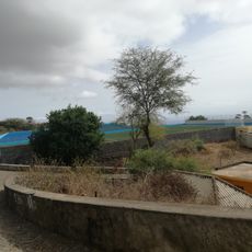
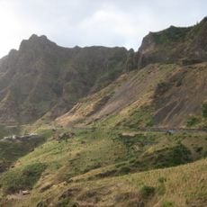
The town is best explored on foot along the paved paths that wind through the center and descend toward the beaches. Visitors should wear sturdy shoes, as the hilly terrain and volcanic rock surfaces make walking demanding.

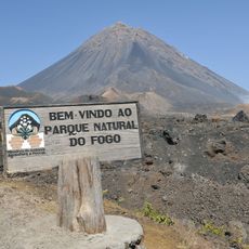
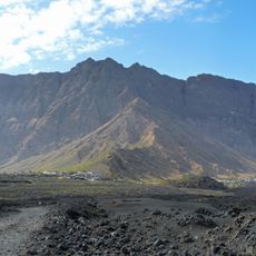
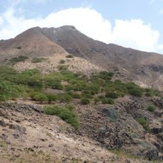
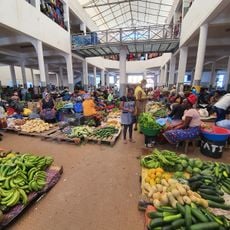
The black sand beaches here formed from volcanic rock originating on the island, creating a distinctive shoreline. These beaches remain relatively unknown to travelers compared to white-sand beaches on other islands, though they give the place a distinctive character.

Location: Sotavento Islands

Inception: 1991

Capital city: São Filipe

Elevation above the sea: 40 m

Shares border with: Mosteiros, Santa Catarina do Fogo

Website: http://cmsf.cv

GPS coordinates: 14.89511,-24.50044

Latest update: December 12, 2025 14:22

Photos
Reviews

Visited this place? Tap the stars to rate it and share your experience / photos with the community! Try now! You can cancel it anytime.

« São Filipe - Administrative capital in Fogo Island, Cape Verde » is provided by Around Us (aroundus.com). Images and texts are derived from Wikimedia project under a Creative Commons license. You are allowed to copy, distribute, and modify copies of this page, under the conditions set by the license, as long as this note is clearly visible.

Discover hidden gems everywhere you go!

From secret cafés to breathtaking viewpoints, skip the crowded tourist spots and find places that match your style. Our app makes it easy with voice search, smart filtering, route optimization, and insider tips from travelers worldwide. Download now for the complete mobile experience.

Around Us App Screenshot

A unique approach to discovering new places

Le Figaro

All the places worth exploring

France Info

A tailor-made excursion in just a few clicks

20 Minutes