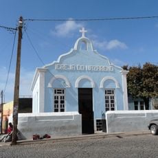
Tarrafal, Administrative municipality in Santiago Island, Cape Verde
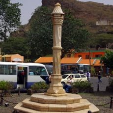
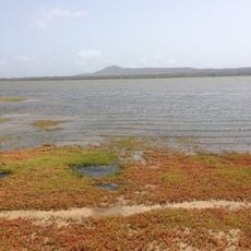
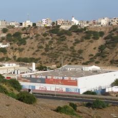
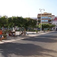
Tarrafal is an administrative municipality covering about 112 square kilometers across northern Santiago Island with white sand beaches along its northwestern coast. The area includes fishing villages and settlements spread throughout, from seaside areas inland toward agricultural regions.
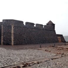
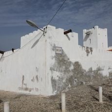
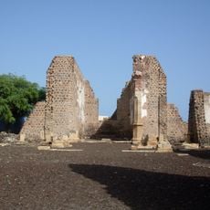
The area took shape under Portuguese colonial rule in the 1930s when authorities built a concentration camp here to hold political prisoners. This facility operated until 1974, marking a painful chapter in the island's colonial past.
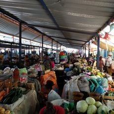
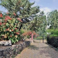
The name comes from Santo Amaro, and residents gather here each January to celebrate with local music and traditional pottery on display. These gatherings show how the community keeps its customs alive through shared occasions.
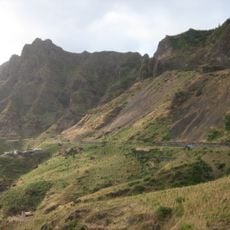
Two main roads connect the area to the capital: one passes through Assomada and São Domingos inland, while the other follows the east coast through Calheta. Travelers should account for local schedules and expect longer journey times on the mountainous stretches.
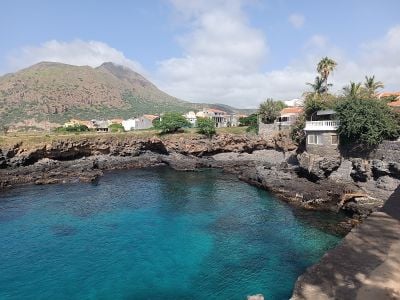
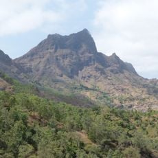
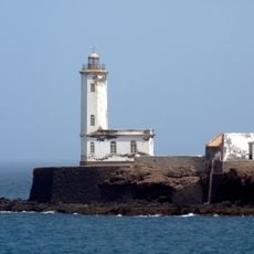
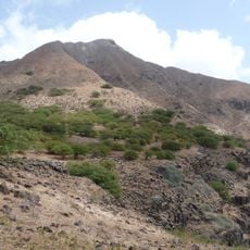
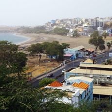
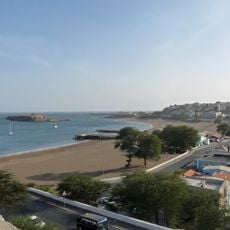
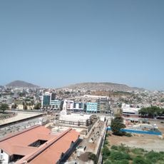
Monte Graciosa rises 643 meters above the bay, creating a natural backdrop for the fishing port and town buildings below. This distinctive peak remains visible from many points across the area and has long served as a landmark for local fishermen.
Location: Sotavento Islands
Capital city: Tarrafal
Elevation above the sea: 159 m
Shares border with: São Miguel, Santa Catarina
Address: Tarrafal, Cabo Verde
GPS coordinates: 15.27866,-23.75164
Latest update: December 6, 2025 17:43
Cape Verde offers landscapes and places full of stories that tell how these islands in the Atlantic came to be. This collection shows natural and cultural sites that make the archipelago special — from white sandy beaches to volcanic formations, colonial churches, and markets where the local life is...
Estádio da Várzea
47.9 km
Palácio Presidencial
48 km
Pelourinho
43.4 km
Mercado de Sucupira
47.4 km
Fort Real de São Filipe
43.3 km
Monumento de Diogo Gomes
48 km
Pico da Antónia
28.3 km
Salinas of the English Port
58.2 km
Liceu Domingos Ramos
47.7 km
National Library of Cape Verde
47.9 km
Farol de D. Maria Pia
49.5 km
Gimnodesportivo Vava Duarte
48.1 km
Jardim Botânico
30.1 km
Museu Etnográfico da Praia
47.7 km
Forte de São José
60 km
Monte Graciosa
2.3 km
Museu da Tabanka
22.2 km
Ponta Preta Lighthouse
2.6 km
National Botanical Garden of Grandvaux Barbosa
29.6 km
Avenida Charles Darwin
47.6 km
Avenida Combatentes da Liberdade da Patria
47.9 km
Rampa São Januário
48 km
Rua Patrice Lumumba
47.9 km
Palacio da Cultura Ildo Lobo
47.8 km
Assomada market
22.6 km
Serra Malagueta Natural Park
13.3 km
Igreja do Nazareno, Assomada
22.1 km
Sé Catedral (Cidade Velha)
43.6 kmVisited this place? Tap the stars to rate it and share your experience / photos with the community! Try now! You can cancel it anytime.
Discover hidden gems everywhere you go!
From secret cafés to breathtaking viewpoints, skip the crowded tourist spots and find places that match your style. Our app makes it easy with voice search, smart filtering, route optimization, and insider tips from travelers worldwide. Download now for the complete mobile experience.
A unique approach to discovering new places❞
— Le Figaro
All the places worth exploring❞
— France Info
A tailor-made excursion in just a few clicks❞
— 20 Minutes