São Salvador do Mundo
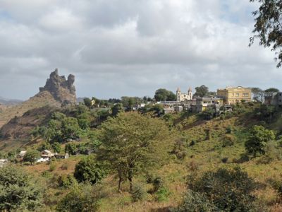
São Salvador do Mundo, Administrative region in Santiago Island, Cape Verde.
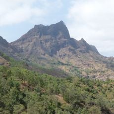
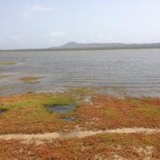
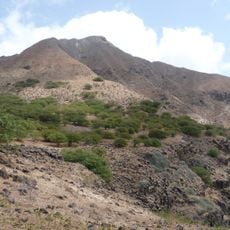
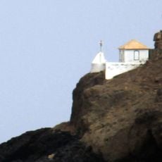
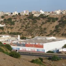
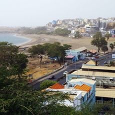
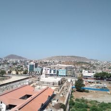
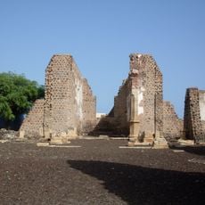
São Salvador do Mundo is an administrative region on Santiago Island with terrain that varies from coastal lowlands to highland areas. Settlements are scattered across the central part of the island at elevations reaching around 400 meters (1,300 feet).
This administrative region was created in 2005 when Santa Catarina council was divided into separate municipalities. The reorganization reflected broader changes to Cape Verde's local government structure.
People speak Cape Verdean Creole in daily life while Portuguese serves as the official language. This mix of languages shapes how the community communicates across its scattered villages.
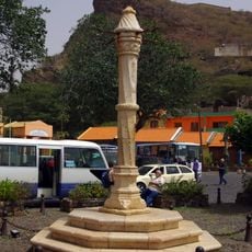
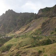
Public transportation connects the region regularly with the capital city Praia and the surrounding areas. The hilly terrain means you should be prepared for varying elevations as you move between settlements.
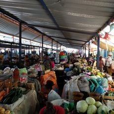
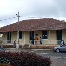
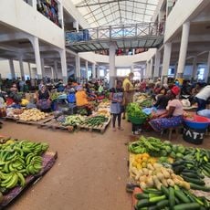
The region contains several small settlements like Aboboreiro and Achada Leitão that each serve as local centers. These villages together form the heart of community life across the administrative area.
Location: Sotavento Islands
Capital city: Picos
Elevation above the sea: 416 m
Shares border with: Santa Cruz, São Lourenço dos Órgãos, Ribeira Grande de Santiago, Santa Catarina
GPS coordinates: 15.08369,-23.63213
Latest update: December 12, 2025 16:42
Estádio da Várzea
22.7 km
Palácio Presidencial
22.8 km
Pelourinho
19 km
Mercado de Sucupira
22.3 km
Fort Real de São Filipe
18.8 km
Monumento de Diogo Gomes
22.9 km
Pico da Antónia
3.7 km
Salinas of the English Port
44.4 km
Liceu Domingos Ramos
22.5 km
National Library of Cape Verde
22.7 km
Farol de D. Maria Pia
24.3 km
Gimnodesportivo Vava Duarte
22.9 km
Jardim Botânico
4.9 km
Museu Etnográfico da Praia
22.6 km
Forte de São José
45.3 km
Monte Graciosa
27.1 km
Museu da Tabanka
4 km
Ponta Preta Lighthouse
27.7 km
National Botanical Garden of Grandvaux Barbosa
4.4 km
Avenida Charles Darwin
22.5 km
Avenida Combatentes da Liberdade da Patria
22.8 km
Rampa São Januário
22.8 km
Rua Patrice Lumumba
22.7 km
Palacio da Cultura Ildo Lobo
22.7 km
Assomada market
3.8 km
Serra Malagueta Natural Park
12 km
Igreja do Nazareno, Assomada
4.2 km
Sé Catedral (Cidade Velha)
19.2 kmVisited this place? Tap the stars to rate it and share your experience / photos with the community! Try now! You can cancel it anytime.
Discover hidden gems everywhere you go!
From secret cafés to breathtaking viewpoints, skip the crowded tourist spots and find places that match your style. Our app makes it easy with voice search, smart filtering, route optimization, and insider tips from travelers worldwide. Download now for the complete mobile experience.
A unique approach to discovering new places❞
— Le Figaro
All the places worth exploring❞
— France Info
A tailor-made excursion in just a few clicks❞
— 20 Minutes