Tarrafal de São Nicolau, Coastal municipality on São Nicolau Island, Cape Verde
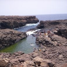
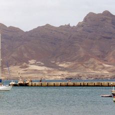
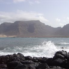
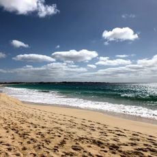
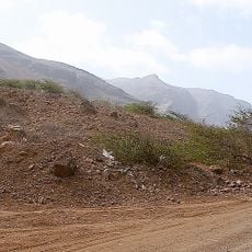
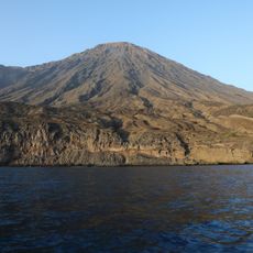
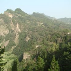
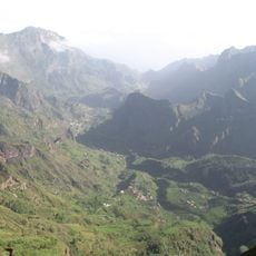
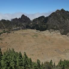
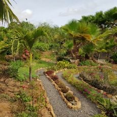
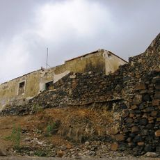
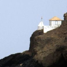
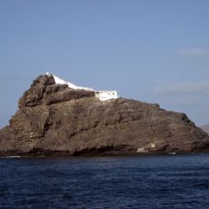
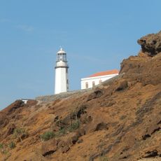
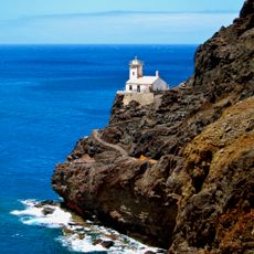
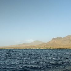
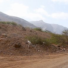
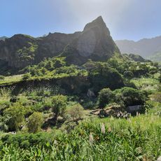
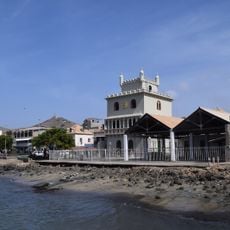
Tarrafal de São Nicolau is a municipality covering the southwestern portion of São Nicolau Island, with a landscape of valleys and coastal cliffs. The administrative area extends from the seashore to mountain regions, combining coastal zones with highland settlements.
The municipality was formed in 2005 through the division of the original São Nicolau administrative unit into two separate regions. This reorganization reflected growing population and administrative needs on the island.
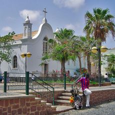
Traditional Cape Verdean music and dance forms are performed at local celebrations throughout the year, reflecting the community's connection to both sea and highlands. Residents maintain these customs as part of their daily cultural identity.
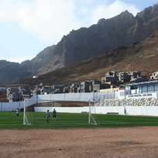
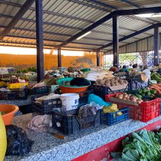
Visitors can find local markets with fresh fish and mountain agricultural products, supported by basic accommodations and services. The hilly terrain means travel between scattered settlements requires local transportation or walking on existing paths.
The municipality combines two distinctly different economic zones where coastal areas focus on fishing and maritime trade, while mountain regions grow grains and vegetables. This division creates a natural contrast that shapes how different settlements function and what visitors can experience.
The community of curious travelers
AroundUs brings together thousands of curated places, local tips, and hidden gems, enriched daily by 60,000 contributors worldwide.