
Sotira, municipality of Famagusta District, Cyprus
Location: Famagusta District
Elevation above the sea: 75 m
Part of: Famagusta District
Shares border with: Liopetri, Frenaros, Deryneia, Paralimni, Agia Napa, Agia Napa
Website: https://sotira.org.cy
GPS coordinates: 35.02689,33.95143
Latest update: March 15, 2025 08:29

Lala Mustafa Pasha Mosque
10.9 km
Nissi beach
4.6 km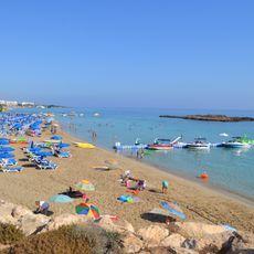
Fig Tree Bay
9.9 km
WaterWorld
4.6 km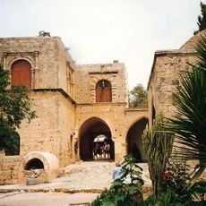
Agia Napa Monastery
6 km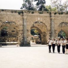
Palazzo del Provveditore
10.9 km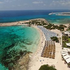
Makronissos Beach
4.9 km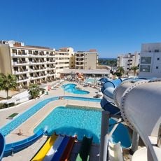
Anastasia Aquamania Protaras Waterpark
8.3 km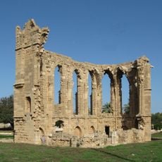
St George of the Latins
11.1 km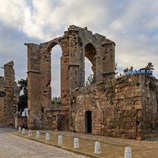
Franciscan Church, Famagusta
10.9 km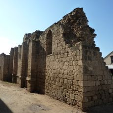
St. Anthony church and hospital, Famagusta
11 km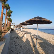
Ayia Thekla beach
5.6 km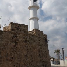
Famagusta Lighthouse
10.7 km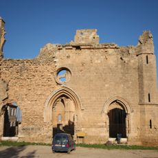
St George of the Greeks, Famagusta
10.8 km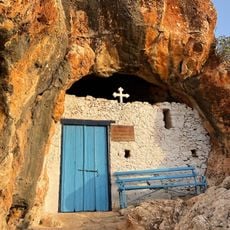
Agioi Saranta Cave Church
8.1 km
Nissaki beach
5.7 km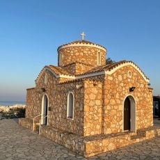
Church of Profitis Ilias
8.2 km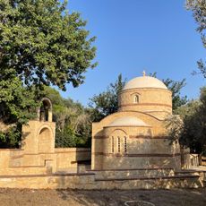
Church of Saint Charalambos
9.2 km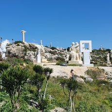
Ayia Napa Sculpture Park
7.5 km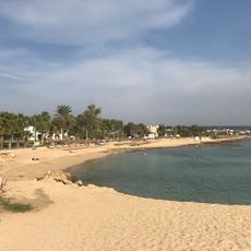
Pernera Beach
5.5 km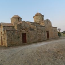
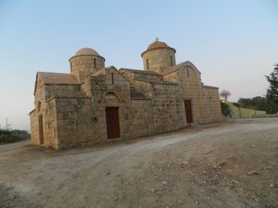
Agios Georgios Chortakion
1.6 km
Katsarka Beach
5.9 km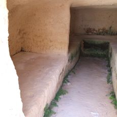
Makronissos Tombs
5.1 km
Panagiotissa Chapel, Protaras
9.7 km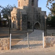
Agios Mamas church, Sotira, Cyprus
335 m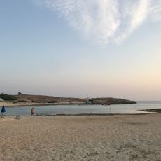
Vathia Gonia Beach
5.1 km
Ágios Mámas
378 m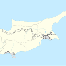
Ágios Andrónikos
2.5 kmReviews
Visited this place? Tap the stars to rate it and share your experience / photos with the community! Try now! You can cancel it anytime.
Discover hidden gems everywhere you go!
From secret cafés to breathtaking viewpoints, skip the crowded tourist spots and find places that match your style. Our app makes it easy with voice search, smart filtering, route optimization, and insider tips from travelers worldwide. Download now for the complete mobile experience.

A unique approach to discovering new places❞
— Le Figaro
All the places worth exploring❞
— France Info
A tailor-made excursion in just a few clicks❞
— 20 Minutes