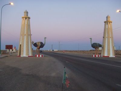
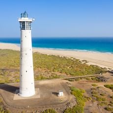
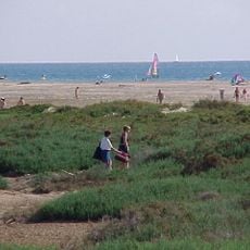
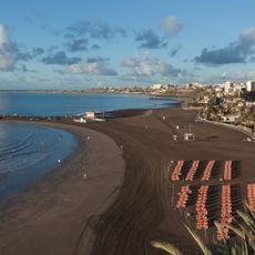
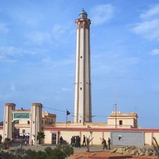
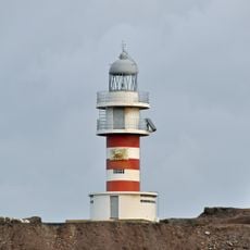
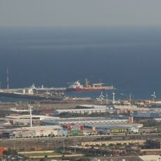
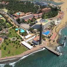
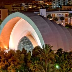
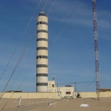
Boujdour, city in Morocco
The community of curious travelers
AroundUs brings together thousands of curated places, local tips, and hidden gems, enriched daily by 60,000 contributors worldwide.
Location
Elevation above the sea
0 m
Part of
Western Sahara
GPS coordinates
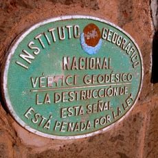
26.12634,-14.48365
Latest update
March 5, 2025 15:26