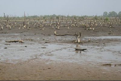
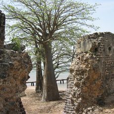
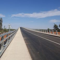
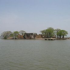
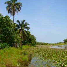
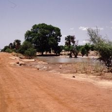
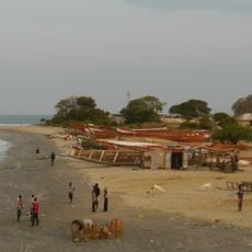
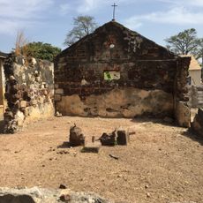
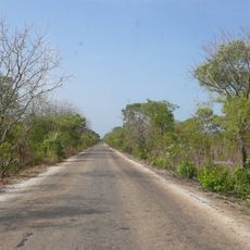
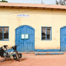
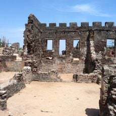
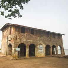
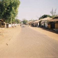
Lower River Division, one of the five administrative divisions of the Gambia, whose capital is Mansa Konko
The community of curious travelers
AroundUs brings together thousands of curated places, local tips, and hidden gems, enriched daily by 60,000 contributors worldwide.
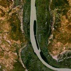
Location
Shares border with
Central River Division, North Bank Division, West Coast Division, Sédhiou, Kolda
GPS coordinates
13.40222,-15.70194
Latest update
March 3, 2025 02:06