The Gambia, Coastal country in West Africa
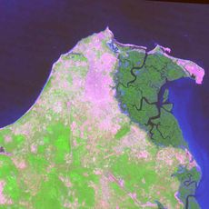
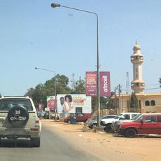
The Gambia is a West African nation that extends along both banks of the Gambia River from the Atlantic coast inland. This narrow territory is completely surrounded by Senegal except for the short coastline in the west.
European trading posts appeared along the river from the 15th century, before British colonial administration began in 1765. Independence followed in 1965, and five years later the territory became a republic.
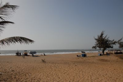
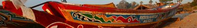
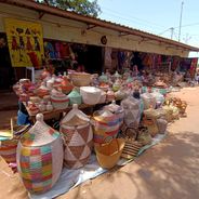
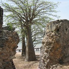
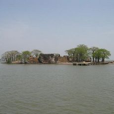
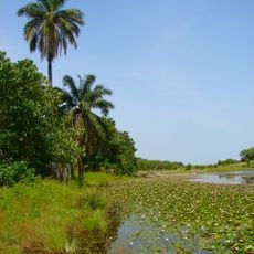
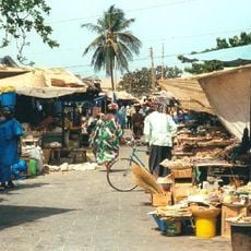
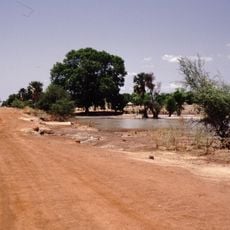
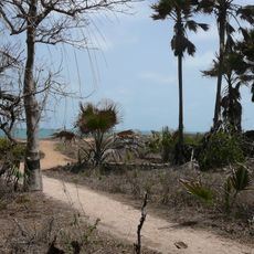
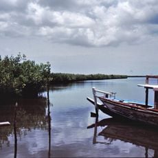
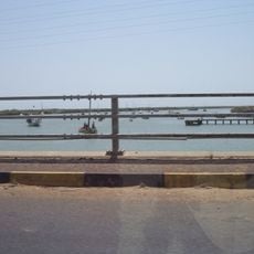
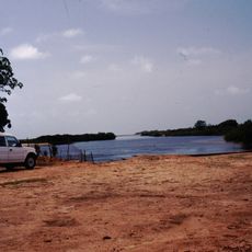
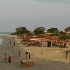
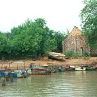
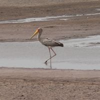
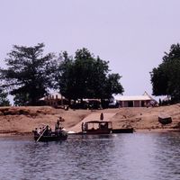
The name comes from the Gambia River, which flows through the entire territory and shapes daily routines along its banks. On market days, traders and craftspeople gather in settlements, while fishermen lay their nets along the shore and women wear cloth in the colors of their respective communities.
The climate is tropical with a rainy season from June to October and a dry season from November to May. The cooler months between November and February offer more comfortable travel conditions.
A nationwide data collection system gathers household information to target social programs more effectively. This infrastructure allows for more accurate distribution of assistance to communities in need across all regions.
The community of curious travelers
AroundUs brings together thousands of curated places, local tips, and hidden gems, enriched daily by 60,000 contributors worldwide.