Pico Basilé, Volcanic mountain in Bioko Norte, Equatorial Guinea
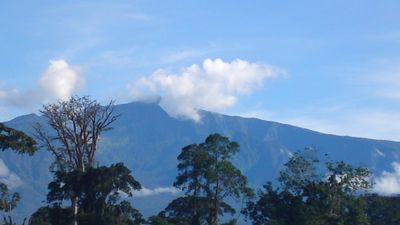
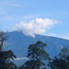
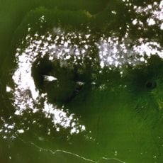
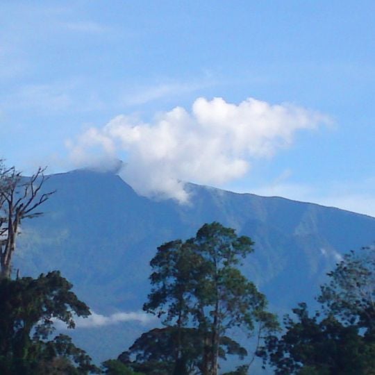
Pico Basilé is a volcanic mountain rising 3,011 meters (9,878 feet) above sea level on Bioko Island and represents the highest peak of three overlapping basaltic shield volcanoes. The structure displays the gently sloping sides typical of shield volcanoes, composed of hardened basalt lava flows.
The mountain recorded its last documented volcanic activity in 1923, following earlier eruptions in 1898 and 1903. These eruptions originated from vents along the southeastern flank and demonstrate activity spanning roughly two decades.
The Bubi, a Bantu-speaking people, settled Bioko in the mid-first millennium BC after crossing from the mainland. The mountain's older name, Pico de Santa Isabel, dates from Portuguese sighting of the island in 1472 by Fernão do Pó. The Bioko speirops, a bird found only at the volcano's higher elevations, is tied to the island's isolation.
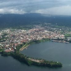
The summit carries RTVGE broadcast transmitters and microwave relay equipment, so the top itself is a working installation rather than an open viewpoint. The mountain lies close to Malabo and forms part of Pico Basilé National Park, created in April 2000. The boundary between Bioko Norte and Sur runs near the summit, and the upper slopes are forested, with the base of the peak hidden behind trees.
On clear days, visitors can spot Mount Cameroon to the northeast from the summit, even though it sits in another country. This view highlights how close the volcanic landscapes of this region actually are.
The community of curious travelers
AroundUs brings together thousands of curated places, local tips, and hidden gems, enriched daily by 94,110 contributors worldwide.