Equatorial Guinea, Country in Central Africa
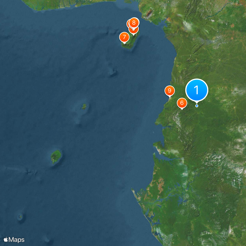
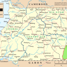
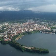
Equatorial Guinea consists of a continental section on the Central African Atlantic coast and several islands in the Gulf of Guinea. The continental zone borders Cameroon to the north and Gabon to the south and east, while Bioko sits roughly 40 kilometers off the Cameroonian shoreline.
The Portuguese reached the region in the 15th century and ceded the territory to Spain in 1778. After decades of Spanish colonial administration, the territory gained independence in 1968.
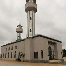
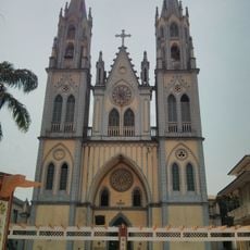
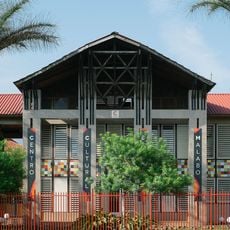
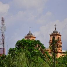
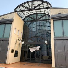
Former Spanish colonial buildings in Malabo still display balconies and columns from the years before independence. Fishermen on the islands use canoes built in traditional ways, while the mainland echoes with the sound of balélé drums during village celebrations.
Travelers require a visa, obtainable through embassies or on arrival. The dry season from November to February offers more favorable conditions for visiting when roads become more accessible.
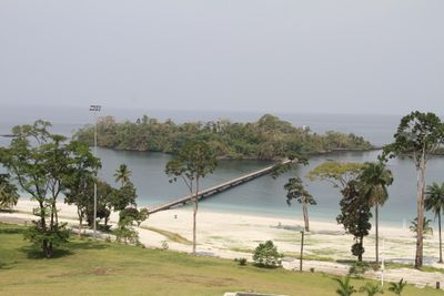
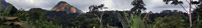
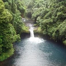
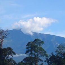
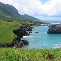
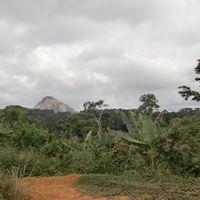
Annobón follows its own calendar for religious celebrations, based on Portuguese customs and different from the rest of the country. Pico Basile on Bioko reaches 3,011 meters (9,878 feet) and forms the highest point in the territory.
The community of curious travelers
AroundUs brings together thousands of curated places, local tips, and hidden gems, enriched daily by 60,000 contributors worldwide.