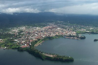
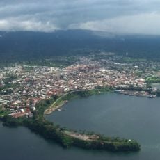
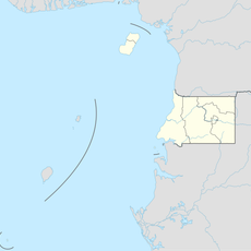
Malabo, Capital city on Bioko Island, Equatorial Guinea.
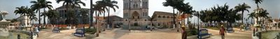
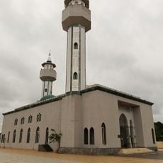
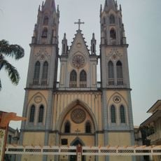
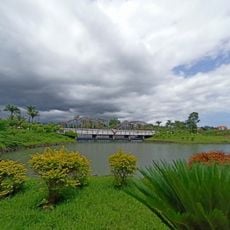
Malabo spreads along the northern shore of Bioko Island, where government buildings and residential neighborhoods sit between palm trees and tropical vegetation. The capital displays a mix of two-story colonial structures with bright facades and newer high-rises that range from the harbor to the forested hills inland.
The settlement was founded in 1827 under the name Port Clarence by British colonizers who sought to establish a base to combat the slave trade in the Gulf of Guinea. Spain took control of the island during the 19th century and later renamed the town Santa Isabel, before it received its current name following independence in 1968.
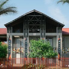
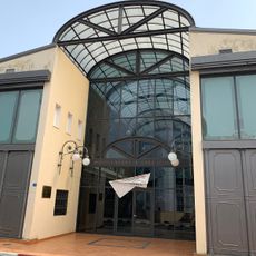
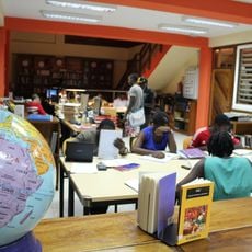
The Cultural Center of Spain and Hispano-Guinean Cultural Center organize exhibitions and programs that promote local art, music, and creative initiatives.
The international airport connects the city with regional destinations in Central Africa and Spain, while buses and yellow taxis serve the main roads and residential areas. Most points of interest lie within the compact center, making many locations reachable on foot, though steep hills in some areas can make movement more challenging.
The city takes its name from Malabo Löpèlo Mëlaka, the final king of the Bubi people who originally inhabited the island. This renaming after independence marked a symbolic break with the colonial past, when the place was still called Santa Isabel.
The community of curious travelers
AroundUs brings together thousands of curated places, local tips, and hidden gems, enriched daily by 60,000 contributors worldwide.