Minahasa, Administrative regency in North Sulawesi, Indonesia
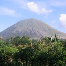
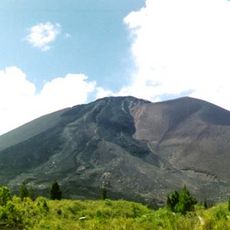
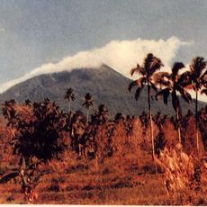
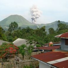
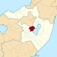
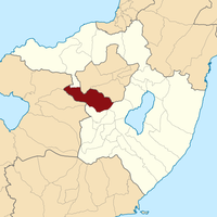
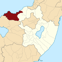
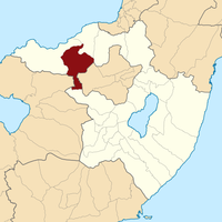
Minahasa is an administrative regency in North Sulawesi featuring mountainous terrain divided into 25 districts, with Tondano serving as its administrative capital. The region spans roughly 1,140 square kilometers and supports various economic activities across its diverse landscape.
The regency established formal governance structures in 1919, following centuries of tribal alliances beginning in 1428 through agreements with neighboring communities. These early partnerships laid the foundation for the region's later administrative organization.
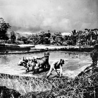
Local communities express their heritage through regional dances, ceremonies, and the preparation of distinctive dishes like tinutuan rice porridge. These practices remain woven into daily life and celebrations throughout the area.
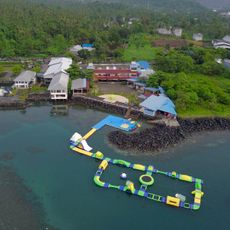
The multiple administrative centers spread across the districts serve as reference points for visitors seeking local services or information. The mountainous landscape means travelers should expect varying elevations and road conditions throughout the region.
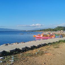
Lake Tondano sits within the regency and functions as both a natural water reservoir and a primary economic source for local fishing communities. The lake has long supported livelihoods in the area.
The community of curious travelers
AroundUs brings together thousands of curated places, local tips, and hidden gems, enriched daily by 60,000 contributors worldwide.