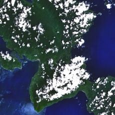
North Sulawesi, Province of Indonesia in northeastern Sulawesi
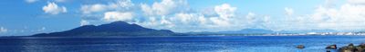
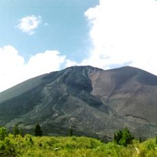
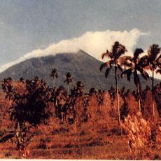
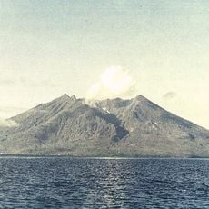
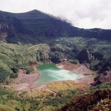
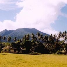
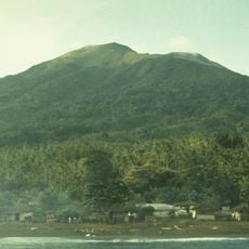
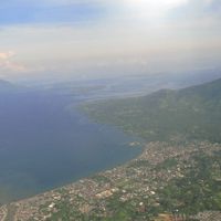
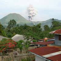
North Sulawesi is a province in northeastern Sulawesi, Indonesia, covering mountainous land that rises over 2000 meters (6560 feet) above sea level. Narrow coastal strips border thick rainforests of oak and chestnut, which blanket much of the terrain.
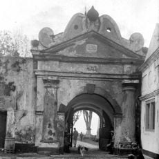
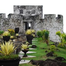
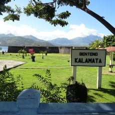
The Dutch built a fort in Manado in 1658 and expanded their presence across the region over the following centuries. After Indonesian independence, the territory became an official province on August 14, 1959.
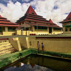
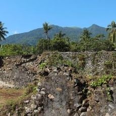
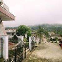
People in daily life speak Minahasan, Sangirese or Mongondow languages, and many town names and family traditions reflect these roots. Along the coast, wooden houses with curved roofs and open-air fish markets show how fishing and farming shape the rhythm of village life.
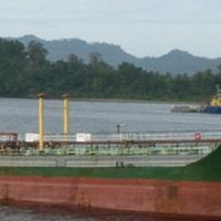
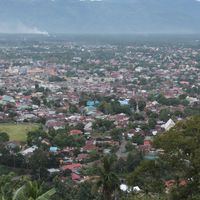
Main roads link coastal cities such as Bitung and Kotamobagu, and an international airport operates from the capital Manado. Travelers moving through the province will find cooler temperatures in higher areas and easier orientation along coastal routes near the sea.
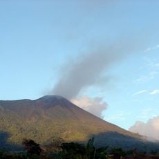
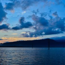
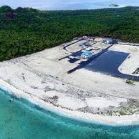
The province includes Miangas, a small island that marks the northernmost point of Indonesia and lies close to the Philippine border. Positioned between the Celebes Sea and the Maluku Sea, it remains a remote outpost that few travelers reach.
The community of curious travelers
AroundUs brings together thousands of curated places, local tips, and hidden gems, enriched daily by 60,000 contributors worldwide.