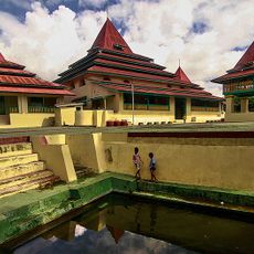
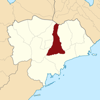
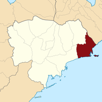
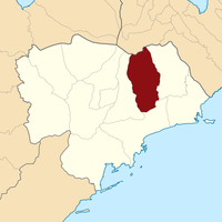
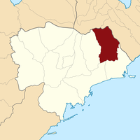
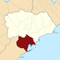
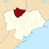
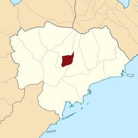
Southeast Minahasa, Administrative regency in North Sulawesi, Indonesia.
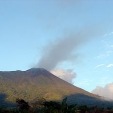
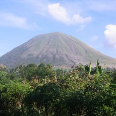
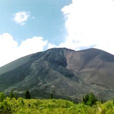
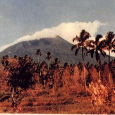
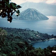
Southeast Minahasa is an administrative regency in North Sulawesi with landscapes ranging from mountains to coastline. The region comprises twelve districts, each with its own administrative center, creating a network of communities spread across varied terrain.
The region was established on January 2, 2007, when it separated from South Minahasa Regency and set up its administrative center in Ratahan. This founding created a new administrative structure for the local communities in the area.
The local Minahasan people speak languages like Tontemboan and Tombulu in everyday conversation, shaping how neighbors interact and do business together. These languages remain central to family life and community gatherings throughout the region.
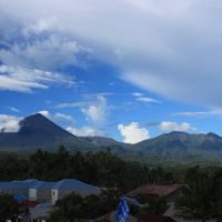
The best time to explore the region is during the drier months, as rainfall can be significant at other times of the year. Visitors should prepare for varying elevations, as this affects temperature and weather conditions throughout the area.
The region experiences two distinct rainfall periods, with months like August and September bringing moderate precipitation while other seasons are much wetter. These patterns shape the land's appearance and how people plan their daily work and travel.
The community of curious travelers
AroundUs brings together thousands of curated places, local tips, and hidden gems, enriched daily by 60,000 contributors worldwide.